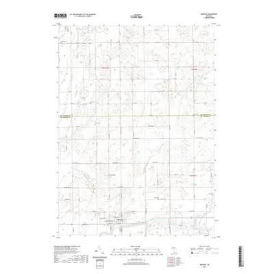
2019 Map of Mendon
USGS Topo · Published 2019About this map
The Saint Joseph River winds across the southern reaches of this landscape, defining the character of Mendon and its surrounding agricultural terrain. This survey reveals a complex drainage network including the Portage River, Little Portage Cr, and Butternut Cr, which feed the river valley. The village of Mendon serves as the primary hub, where S Railroad St and the Po indicate the town's historical development and civic infrastructure near the water.
Find a feature on this map
77 named features on this map. Tap any name to fly to it.
Don’t see what you’re looking for? This feature index may not catch every label — zoom into the map to look around manually.
Map Details
Editions of this 2019 Mendon Map
This is the sole edition of this map. No revisions or reprints were ever made.
Other maps of this area

1914 · Three Rivers
USGS Topo · 1:62,500

1916 · Three Rivers
USGS Topo · 1:62,500

1918 · Leonidas
USGS Topo · 1:62,500

1922 · Schoolcraft
USGS Topo · 1:62,500

1943 · Three Rivers
USGS Topo · 1:62,500

1943 · Schoolcraft
USGS Topo · 1:62,500

1944 · Leonidas
USGS Topo · 1:62,500

1947 · Leonidas
USGS Topo · 1:62,500

1950 · Leonidas
USGS Topo · 1:62,500

1953 · Fort Wayne
USGS Topo · 1:250,000