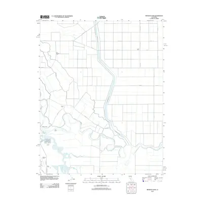
2012 Map of Mendota Dam
USGS Topo · Published 2012About this map
The San Joaquin River and its complex network of managed waterways define this agricultural landscape in the Central Valley. At the heart of the map lies the Mendota Pool, a critical water management hub where the river meets the Fresno Slough and is regulated by the Mendota Dam. The terrain is characterized by a high concentration of irrigation infrastructure, including the prominent Chowchilla Canal, Aliso Canal, and smaller channels like Helm Ditch and Ridge Ditch.
Find a feature on this map
29 named features on this map. Tap any name to fly to it.
Don’t see what you’re looking for? This feature index may not catch every label — zoom into the map to look around manually.
Map Details
Editions of this 2012 Mendota Dam Map
This is the sole edition of this map. No revisions or reprints were ever made.
Other maps of this area

1920 · Bonita Ranch
USGS Topo · 1:31,680

1921 · Mendota
USGS Topo · 1:31,680

1921 · Bonita Ranch
USGS Topo · 1:31,680

1922 · Tufts Ranch
USGS Topo · 1:31,680

1922 · Pozo Farm
USGS Topo · 1:31,680

1922 · Kentucky Well
USGS Topo · 1:31,680

1923 · Firebaugh
USGS Topo · 1:31,680

1924 · Jamesan
USGS Topo · 1:31,680

1924 · Tranquillity
USGS Topo · 1:31,680

1924 · Gravelly Ford
USGS Topo · 1:31,680