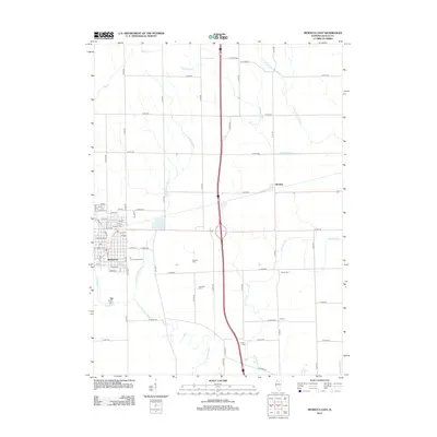
2012 Map of Mendota East
USGS Topo · Published 2012About this map
The city of Mendota serves as the focal point of this LaSalle County landscape, where the urban grid gives way to a sprawling network of agricultural roads and riparian corridors. This area is defined by the complex drainage of the Little Vermilion River and several smaller tributaries like Sutphens Run and Fourmile Grove Cr. The land use reflects a mix of civic and rural priorities, evidenced by the presence of the Tri-County Fairground on the city's eastern edge and the small settlement of Meriden to the northeast.
Find a feature on this map
67 named features on this map. Tap any name to fly to it.
Don’t see what you’re looking for? This feature index may not catch every label — zoom into the map to look around manually.
Map Details
Editions of this 2012 Mendota East Map
This is the sole edition of this map. No revisions or reprints were ever made.
Other maps of this area

1892 · Ottawa
USGS Topo · 1:62,500

1893 · Lasalle
USGS Topo · 1:62,500

1911 · La Salle
USGS Topo · 1:62,500

1913 · La Salle
USGS Topo · 1:62,500

1915 · Ottawa
USGS Topo · 1:62,500

1946 · Ottawa
USGS Topo · 1:62,500

1947 · La Salle
USGS Topo · 1:62,500

1951 · Earlville
USGS Topo · 1:62,500

1952 · Mendota
USGS Topo · 1:62,500

1958 · Aurora
USGS Topo · 1:250,000