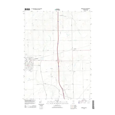
2015 Map of Mendota East
USGS Topo · Published 2015About this map
The city of Mendota serves as a significant junction in LaSalle County, where the street grid transitions from the dense urban layout of Michigan Ave and W Main St to the expansive agricultural landscape of Mendota Township. This 2015 survey illustrates how modern infrastructure interacts with the area’s early pioneer roots, notably through the preservation of numerous family and community burial grounds scattered across the countryside. The Little Vermilion River and Vermilion Cr wind through these farmsteads, providing the primary drainage for the surrounding fields.
Find a feature on this map
63 named features on this map. Tap any name to fly to it.
Don’t see what you’re looking for? This feature index may not catch every label — zoom into the map to look around manually.
Map Details
Editions of this 2015 Mendota East Map
This is the sole edition of this map. No revisions or reprints were ever made.
Other maps of this area

1892 · Ottawa
USGS Topo · 1:62,500

1893 · Lasalle
USGS Topo · 1:62,500

1911 · La Salle
USGS Topo · 1:62,500

1913 · La Salle
USGS Topo · 1:62,500

1915 · Ottawa
USGS Topo · 1:62,500

1946 · Ottawa
USGS Topo · 1:62,500

1947 · La Salle
USGS Topo · 1:62,500

1951 · Earlville
USGS Topo · 1:62,500

1952 · Mendota
USGS Topo · 1:62,500

1958 · Aurora
USGS Topo · 1:250,000