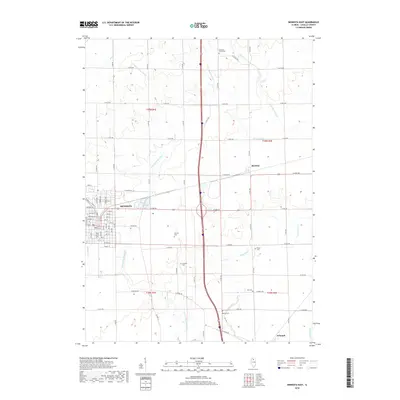
2018 Map of Mendota East
USGS Topo · Published 2018About this map
The city of Mendota serves as a primary hub in this eastern LaSalle County landscape, where the street grid of the town center transitions into a vast network of agricultural section lines. This 2018 survey illustrates the persistent rural character of the region, anchored by small settlements like Meriden and Triumph. The geography is defined by a series of south-flowing waterways, most notably the Little Vermilion River and Sutphens Run, which cut distinct paths through the surrounding prairie. Numerous family and community burial grounds are preserved across the townships, providing a clear map for genealogical research. Locations such as Worsley Cem, Crandall Cem, and Fourmile Grove Cem are noted alongside several others, reflecting the long-established pioneer heritage of this Illinois farming country.
Find a feature on this map
77 named features on this map. Tap any name to fly to it.
Don’t see what you’re looking for? This feature index may not catch every label — zoom into the map to look around manually.
Map Details
Editions of this 2018 Mendota East Map
This is the sole edition of this map. No revisions or reprints were ever made.
Other maps of this area

1892 · Ottawa
USGS Topo · 1:62,500

1893 · Lasalle
USGS Topo · 1:62,500

1911 · La Salle
USGS Topo · 1:62,500

1913 · La Salle
USGS Topo · 1:62,500

1915 · Ottawa
USGS Topo · 1:62,500

1946 · Ottawa
USGS Topo · 1:62,500

1947 · La Salle
USGS Topo · 1:62,500

1951 · Earlville
USGS Topo · 1:62,500

1952 · Mendota
USGS Topo · 1:62,500

1958 · Aurora
USGS Topo · 1:250,000