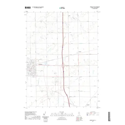
2021 Map of Mendota East
USGS Topo · Published 2021About this map
The eastern edges of Mendota anchor this survey, revealing the structured residential grid of Meriden St, Chicago St, and East Main St as they meet the LaSalle County countryside. This area is defined by its agricultural layout, where the Little Vermilion River and Vermilion Cr weave through a network of rural routes like County Highway 50 and North 43rd Road. Small crossroads communities such as Meriden and Triumph remain significant local centers amidst the expansive farmland.
Find a feature on this map
73 named features on this map. Tap any name to fly to it.
Don’t see what you’re looking for? This feature index may not catch every label — zoom into the map to look around manually.
Map Details
Editions of this 2021 Mendota East Map
This is the sole edition of this map. No revisions or reprints were ever made.
Other maps of this area

1892 · Ottawa
USGS Topo · 1:62,500

1893 · Lasalle
USGS Topo · 1:62,500

1911 · La Salle
USGS Topo · 1:62,500

1913 · La Salle
USGS Topo · 1:62,500

1915 · Ottawa
USGS Topo · 1:62,500

1946 · Ottawa
USGS Topo · 1:62,500

1947 · La Salle
USGS Topo · 1:62,500

1951 · Earlville
USGS Topo · 1:62,500

1952 · Mendota
USGS Topo · 1:62,500

1958 · Aurora
USGS Topo · 1:250,000