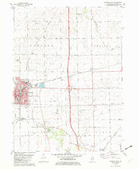
1982 Map of Mendota East
USGS Topo · Published 1982About this map
The Old Indian Boundary slices diagonally across the LaSalle County landscape, marking a historical divide in the prairie south of the Mendota city limits. This survey illustrates the expansion of Mendota eastward into Meriden and Troy Grove townships, where the Burlington Northern railroad serves as a primary industrial corridor. Local education and community life are anchored by landmarks like Holy Cross Sch & PO and Northwest Sch, while the rural outskirts are dotted with family-named burial grounds such as Worsley Cem and Crandall Cem. Along the Little Vermilion River, public spaces like River Park provide a recreational contrast to the grid of agricultural roads, including 45th Road and 40th Road, which define the region's transport network.
Find a feature on this map
47 named features on this map. Tap any name to fly to it.
Don’t see what you’re looking for? This feature index may not catch every label — zoom into the map to look around manually.
Map Details
Editions of this 1982 Mendota East Map
This is the sole edition of this map. No revisions or reprints were ever made.
Other maps of this area

1892 · Ottawa
USGS Topo · 1:62,500

1893 · Lasalle
USGS Topo · 1:62,500

1911 · La Salle
USGS Topo · 1:62,500

1913 · La Salle
USGS Topo · 1:62,500

1915 · Ottawa
USGS Topo · 1:62,500

1946 · Ottawa
USGS Topo · 1:62,500

1947 · La Salle
USGS Topo · 1:62,500

1951 · Earlville
USGS Topo · 1:62,500

1952 · Mendota
USGS Topo · 1:62,500

1958 · Aurora
USGS Topo · 1:250,000