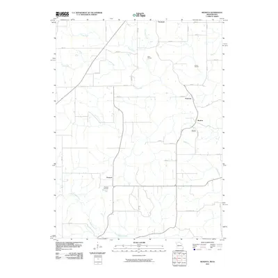
2010 Map of Mendota
USGS Topo · Published 2010About this map
Cincinnati sits at the northern edge of this borderlands survey, where the rolling agricultural landscape of southern Iowa meets the northern reaches of Missouri. This quadrangle captures a network of small rural settlements including Mendota, Pearl City, and Howland, connected by a grid of section-line roads and winding trails such as Abelia Trl and Cottonwood Trl. The terrain is defined by the drainage systems of North Creek, South Creek, and Little Shoal Creek, which carve through the farmland to create a varied topography. Local history is anchored by several sites of genealogical interest, including Baker Cemetery, Boswell Cemetery, and Mendota Cemetery. In the southwest, the Phantom Lake Dam creates Phantom Lake, a distinct water feature among the headwaters of North Blackbird Creek.
Find a feature on this map
41 named features on this map. Tap any name to fly to it.
Don’t see what you’re looking for? This feature index may not catch every label — zoom into the map to look around manually.
Map Details
Editions of this 2010 Mendota Map
This is the sole edition of this map. No revisions or reprints were ever made.
Other maps of this area

1912 · Green City
USGS Topo · 1:62,500

1914 · Green City
USGS Topo · 1:62,500

1939 · Centerville
USGS Topo · 1:62,500

1941 · Centerville
USGS Topo · 1:62,500

1942 · Seymour
USGS Topo · 1:62,500

1944 · Seymour
USGS Topo · 1:62,500

1954 · Centerville
USGS Topo · 1:250,000

1957 · Centerville
USGS Topo · 1:250,000

1958 · Centerville
USGS Topo · 1:250,000

1964 · Unionville West
USGS Topo · 1:24,000