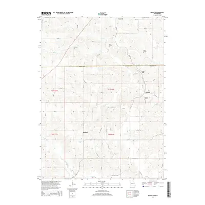
2015 Map of Mendota
USGS Topo · Published 2015About this map
Cincinnati anchors the northern edge of this landscape along the Iowa-Missouri border, where the terrain is defined by the branching waters of North Cr and South Cr. The 2015 survey reveals a rural borderland transition between Appanoose County, Iowa, and Putnam County, Missouri. Small, dispersed settlements like Mendota and Howland are connected by a network of local routes including State Highway CC and several PSF Lincoln roads, indicating the area's ongoing agricultural character.
Find a feature on this map
65 named features on this map. Tap any name to fly to it.
Don’t see what you’re looking for? This feature index may not catch every label — zoom into the map to look around manually.
Map Details
Editions of this 2015 Mendota Map
This is the sole edition of this map. No revisions or reprints were ever made.
Other maps of this area

1912 · Green City
USGS Topo · 1:62,500

1914 · Green City
USGS Topo · 1:62,500

1939 · Centerville
USGS Topo · 1:62,500

1941 · Centerville
USGS Topo · 1:62,500

1942 · Seymour
USGS Topo · 1:62,500

1944 · Seymour
USGS Topo · 1:62,500

1954 · Centerville
USGS Topo · 1:250,000

1957 · Centerville
USGS Topo · 1:250,000

1958 · Centerville
USGS Topo · 1:250,000

1964 · Unionville West
USGS Topo · 1:24,000