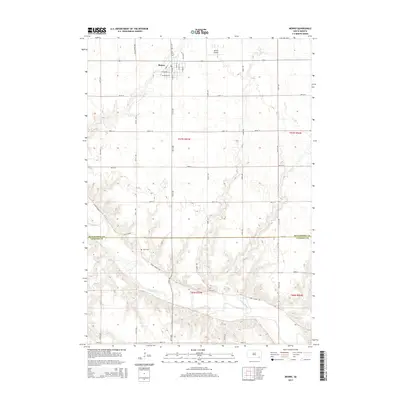
2015 Map of Menno
USGS Topo · Published 2015About this map
Menno serves as the central hub of this Hutchinson County landscape, characterized by its grid of rural section lines and proximity to the winding James River. The town's local infrastructure is well-defined, including the Menno Airport to the northeast and a network of thoroughfares like Lake Menno Road and W Juniper St. A sense of the area's social and community history is visible in the placement of West Cem and East Cem, which flank the river and provide vital data points for genealogical researchers. The southern portion of the map transitions into the river valley, where the water's path is joined by Prairie Cr. Along the banks of the James, Stone Church Rd and County Road 11 navigate the breaks in the terrain, illustrating the relationship between the prairie's topography and its transportation corridors in the early twenty-first century.
Find a feature on this map
17 named features on this map. Tap any name to fly to it.
Don’t see what you’re looking for? This feature index may not catch every label — zoom into the map to look around manually.
Map Details
Editions of this 2015 Menno Map
This is the sole edition of this map. No revisions or reprints were ever made.
Other maps of this area

1898 · Olivet
USGS Topo · 1:125,000

1898 · Parker
USGS Topo · 1:125,000

1955 · Sioux Falls
USGS Topo · 1:250,000

1957 · Tschetter Colony
USGS Topo · 1:24,000

1957 · Midway
USGS Topo · 1:24,000

1957 · Menno
USGS Topo · 1:24,000

1957 · Wolf Creek
USGS Topo · 1:24,000

1957 · Jamesville
USGS Topo · 1:24,000

1957 · Scotland
USGS Topo · 1:24,000

1958 · Sioux Falls
USGS Topo · 1:250,000