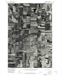
1975 Map of Menoken
USGS Topo · Published 1977About this map
Apple Creek meanders across the northern half of this landscape, its tight oxbows and riparian vegetation cutting a dark, organic path through the rigid geometry of the Great Plains. This orthophotoquad captures the agricultural patterns of Burleigh County in the mid-1970s, where large-scale rectangular fields are divided by section-line roads. The small settlement of Menoken is positioned centrally near the crossing of the Northern Pacific Railway and the primary east-west highway corridors. The imagery clearly shows the stark contrast between the undisturbed, winding drainage of the creek and the highly structured human development that surrounds it. This specific view highlights the intersection of natural hydrology and the mid-century expansion of the regional transportation network, including the prominent path of Interstate 94.
Find a feature on this map
4 named features on this map. Tap any name to fly to it.
Don’t see what you’re looking for? This feature index may not catch every label — zoom into the map to look around manually.
Map Details
Editions of this 1975 Menoken Map
2 editions found
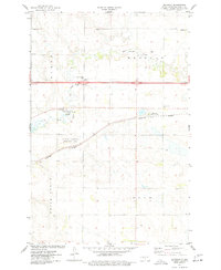
Other maps of this area

1907 · Bismarck
USGS Topo · 1:125,000

1951 · Menoken SW
USGS Topo · 1:24,000

1951 · Menoken
USGS Topo · 1:62,500

1951 · McKenzie
USGS Topo · 1:62,500

1954 · Bismarck
USGS Topo · 1:250,000

1958 · Bismarck
USGS Topo · 1:250,000

1962 · Sugarloaf Butte
USGS Topo · 1:24,000

1962 · Menoken SW
USGS Topo · 1:24,000

1971 · Huff NE
USGS Topo · 1:24,000

1971 · Moffit NW
USGS Topo · 1:24,000