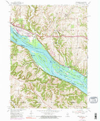
1955 Map of Menominee
USGS Topo · Published 1973About this map
The Mississippi River dominates this landscape, serving as the border between Illinois and Iowa while carving out complex water features like Crooked Slough and Deadmans Slough. By the mid-1950s, the region was characterized by its river economy and a shift in rural education, evidenced by the presence of several defunct institutions including Miller Sch, Sand Ridge Sch, and Ridge Sch.
Find a feature on this map
35 named features on this map. Tap any name to fly to it.
Don’t see what you’re looking for? This feature index may not catch every label — zoom into the map to look around manually.
Map Details
Editions of this 1955 Menominee Map
3 editions found

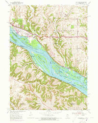
Other maps of this area

1900 · Lancaster
USGS Topo · 1:125,000

1901 · Peosta
USGS Topo · 1:125,000

1902 · Mineral Point
USGS Topo · 1:125,000

1904 · Lancaster
USGS Topo · 1:125,000

1908 · Lancaster
USGS Topo · 1:125,000

1911 · Galena
USGS Topo · 1:62,500

1913 · Galena
USGS Topo · 1:62,500

1935 · East Dubuque
USGS Topo · 1:62,500

1940 · East Dubuque
USGS Topo · 1:62,500

1952 · Cuba City
USGS Topo · 1:24,000