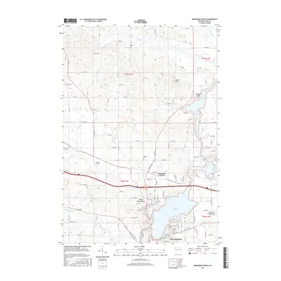
2015 Map of Menomonie North
USGS Topo · Published 2015About this map
Lake Menomin and the winding Red Cedar River dominate this 2015 study of the northern corridor of Menomonie. The landscape transitions from the urban core in the south, through the residential and industrial areas of North Menomonie, into the rural sections of Township 29 North. The map documents a transportation network ranging from local aviation at Skyport Airport to the vital crossroads at Menomonie Junction.
Find a feature on this map
117 named features on this map. Tap any name to fly to it.
Don’t see what you’re looking for? This feature index may not catch every label — zoom into the map to look around manually.
Map Details
Editions of this 2015 Menomonie North Map
This is the sole edition of this map. No revisions or reprints were ever made.
Other maps of this area

1940 · Menomonie
USGS Topo · 1:62,500

1942 · Menomonie
USGS Topo · 1:62,500

1946 · Knapp
USGS Topo · 1:62,500

1948 · Downing
USGS Topo · 1:62,500

1949 · Knapp
USGS Topo · 1:62,500

1949 · Ridgeland
USGS Topo · 1:62,500

1950 · Downing
USGS Topo · 1:62,500

1951 · Ridgeland
USGS Topo · 1:62,500

1953 · Saint Paul
USGS Topo · 1:250,000

1953 · Eau Claire
USGS Topo · 1:250,000