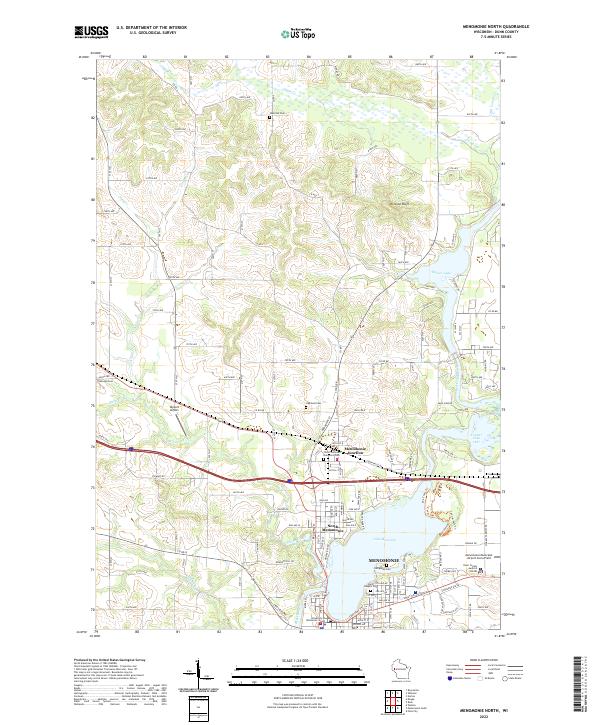
2022 Map of Menomonie North
USGS Topo · Published 2022About this map
Menomonie serves as the focal point of this Dunn County landscape, where the Red Cedar River flows into Lake Menomin. The influence of the University of Wisconsin - Stout and the local aviation infrastructure at Skyport Airport and Menomonie Municipal Airport-Score Field highlight the area's development. Settlement patterns are concentrated around North Menomonie and the historic Menomonie Junction, while the surrounding terrain is defined by dramatic features like Otteson Bluff.
Find a feature on this map
81 named features on this map. Tap any name to fly to it.
Don’t see what you’re looking for? This feature index may not catch every label — zoom into the map to look around manually.
Map Details
Editions of this 2022 Menomonie North Map
This is the sole edition of this map. No revisions or reprints were ever made.
Other maps of this area

1940 · Menomonie
USGS Topo · 1:62,500

1942 · Menomonie
USGS Topo · 1:62,500

1946 · Knapp
USGS Topo · 1:62,500

1948 · Downing
USGS Topo · 1:62,500

1949 · Knapp
USGS Topo · 1:62,500

1949 · Ridgeland
USGS Topo · 1:62,500

1950 · Downing
USGS Topo · 1:62,500

1951 · Ridgeland
USGS Topo · 1:62,500

1953 · Saint Paul
USGS Topo · 1:250,000

1953 · Eau Claire
USGS Topo · 1:250,000