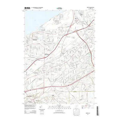
2013 Map of Mentor
USGS Topo · Published 2013About this map
The James A Garfield National Historic Site anchors the residential and suburban landscape of this Lake County region, where the city of Mentor meets the Lake Erie shoreline. This area exhibits a dense network of local roads and major thoroughfares like Mentor Ave and Tyler Blvd, which connect the commercial centers to the quieter outskirts of Kirtland Hills and Waite Hill. The transition from the lakefront at Mentor-on-the-Lake to the higher elevations of Little Mtn in the south illustrates the area's diverse topography, carved by waterways such as Heisley Cr and Kellogg Cr.
Find a feature on this map
41 named features on this map. Tap any name to fly to it.
Don’t see what you’re looking for? This feature index may not catch every label — zoom into the map to look around manually.
Map Details
Editions of this 2013 Mentor Map
This is the sole edition of this map. No revisions or reprints were ever made.
Other maps of this area

1904 · Chardon
USGS Topo · 1:62,500

1905 · Perry
USGS Topo · 1:62,500

1905 · Mentor
USGS Topo · 1:62,500

1906 · Chardon
USGS Topo · 1:62,500

1907 · Mentor
USGS Topo · 1:62,500

1950 · Cleveland
USGS Topo · 1:250,000

1953 · Chardon
USGS Topo · 1:24,000
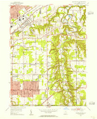
1953 · Mayfield Heights
USGS Topo · 1:24,000

1953 · Chesterland
USGS Topo · 1:24,000

1953 · Mentor
USGS Topo · 1:24,000