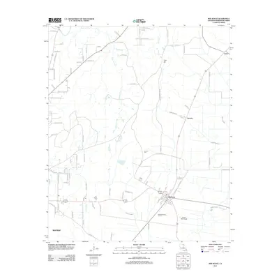
2012 Map of Mer Rouge
USGS Topo · Published 2012About this map
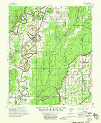
Mer Rouge and its surrounding alluvial landscape are defined by a complex network of waterways and agricultural land in Morehouse Parish. The town center is situated south of Prairie Mer Rouge, where local transport is facilitated by roads such as Plantation Ln and Nip Eckles Rd. Significant genealogical sites are scattered across the quadrangle, including the Mer Rouge Cem, Dunmore Cem, and Cooper Lake Cem.
Find a feature on this map
90 named features on this map. Tap any name to fly to it.
Don’t see what you’re looking for? This feature index may not catch every label — zoom into the map to look around manually.
Map Details
Editions of this 2012 Mer Rouge Map
This is the sole edition of this map. No revisions or reprints were ever made.
Other maps of this area
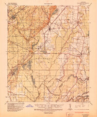
1935 · Collinston
USGS Topo · 1:62,500
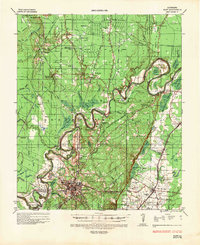
1935 · Naff
USGS Topo · 1:62,500
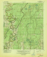
1935 · Hurricane
USGS Topo · 1:62,500
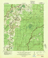
1935 · Bonita
USGS Topo · 1:62,500

1955 · Jackson
USGS Topo · 1:250,000
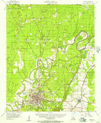
1956 · Bastrop
USGS Topo · 1:62,500
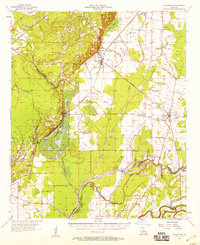
1957 · Collinston
USGS Topo · 1:62,500
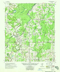
1958 · Hurricane
USGS Topo · 1:62,500
1958 · Bonita
USGS Topo · 1:62,500

1961 · Jackson
USGS Topo · 1:250,000