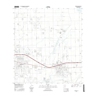
2016 Map of Mercedes
USGS Topo · Published 2016About this map
The growing communities of Weslaco and Mercedes anchor this landscape in the Rio Grande Valley, organized by an extensive grid of numbered roads such as Mile 13 N and Mile 10 N. The region is defined by its complex water management systems, including the North Floodway, the Arroyo Anacuitas, and the Mercedes Floodway Bridge. These features underscore the importance of flood control in a terrain marked by natural water bodies like Campacuas Lake and the Arroyo Colorado.
Find a feature on this map
86 named features on this map. Tap any name to fly to it.
Don’t see what you’re looking for? This feature index may not catch every label — zoom into the map to look around manually.
Map Details
Editions of this 2016 Mercedes Map
This is the sole edition of this map. No revisions or reprints were ever made.
Other maps of this area

1914 · San Juan
USGS Topo · 1:48,000

1916 · San Juan
USGS Topo · 1:62,500

1929 · Santa Rosa
USGS Topo · 1:24,000

1929 · Santa Maria
USGS Topo · 1:24,000

1929 · La Feria
USGS Topo · 1:24,000

1933 · Santa Rosa
USGS Topo · 1:31,680

1936 · La Feria
USGS Topo · 1:31,680

1936 · Santa Maria
USGS Topo · 1:31,680

1949 · Mc Allen
USGS Topo · 1:250,000

1953 · Brownsville
USGS Topo · 1:250,000
Featured Places
- Weslaco, TX
- Mercedes, TX
- Olivarez Number 2 Colonia, TX
- Southern Valley Estates Colonia, TX
- Olivarez Number 10 Colonia, TX