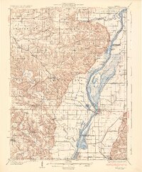
1931 Map of Meredosia
USGS Topo · Published 1931About this map
The Illinois River dominates this early 20th-century landscape, winding through a complex system of backwaters including Meredosia Lake, Island Slough, and Elbow Lake. The river's industrial and navigational infrastructure is clearly marked, from the La Grange Locks to the South Beardstown Pumping Station. This survey illustrates the vital role of the Wabash RR in connecting riverfront communities like Meredosia and Naples to the interior settlements of Versailles and Hersman.
Find a feature on this map
89 named features on this map. Tap any name to fly to it.
Don’t see what you’re looking for? This feature index may not catch every label — zoom into the map to look around manually.
Map Details
Editions of this 1931 Meredosia Map
2 editions found
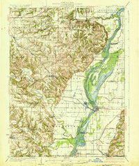
Other maps of this area
1923 · Rushville
USGS Topo · 1:62,500
1924 · Winchester
USGS Topo · 1:48,000
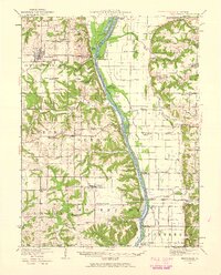
1924 · Griggsville
USGS Topo · 1:62,500
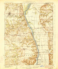
1926 · Griggsville
USGS Topo · 1:62,500
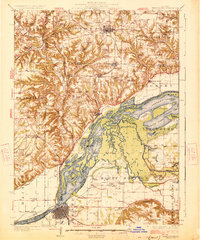
1926 · Beardstown
USGS Topo · 1:62,500
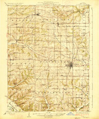
1926 · Pittsfield
USGS Topo · 1:62,500
1926 · Winchester
USGS Topo · 1:62,500
1926 · Rushville
USGS Topo · 1:62,500
1926 · Mt Sterling
USGS Topo · 1:62,500
1928 · Meredosia
USGS Topo · 1:62,500