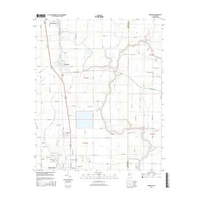
2015 Map of Merigold
USGS Topo · Published 2015About this map
The Big Sunflower River winds through the eastern portion of this Bolivar County landscape, defining the boundary with Sunflower County. This area of the Mississippi Delta is characterized by a grid of agricultural lands and several established communities situated along the Old Highway 61 corridor. In the north, Mound Bayou stands as a significant settlement, while the town of Merigold and the village of Renova sit further south along the same transit line.
Find a feature on this map
113 named features on this map. Tap any name to fly to it.
Don’t see what you’re looking for? This feature index may not catch every label — zoom into the map to look around manually.
Map Details
Editions of this 2015 Merigold Map
This is the sole edition of this map. No revisions or reprints were ever made.
Other maps of this area

1931 · Drew
USGS Topo · 1:48,000

1934 · Cleveland
USGS Topo · 1:62,500

1935 · Mound Bayou
USGS Topo · 1:62,500

1939 · Pace
USGS Topo · 1:62,500

1939 · Choctaw
USGS Topo · 1:62,500

1940 · Cleveland
USGS Topo · 1:62,500

1953 · Greenwood
USGS Topo · 1:250,000

1956 · Greenwood
USGS Topo · 1:250,000
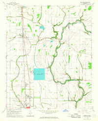
1966 · Merigold
USGS Topo · 1:24,000

1966 · Cleveland
USGS Topo · 1:24,000