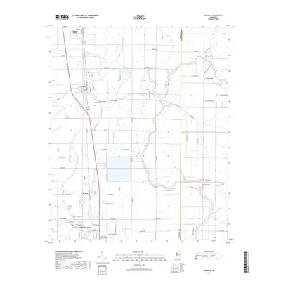
2018 Map of Merigold
USGS Topo · Published 2018About this map
Mound Bayou and Merigold stand as central hubs in this Mississippi Delta landscape, where the agricultural grid is intersected by the winding path of the Big Sunflower River. The map documents a cluster of significant settlements along the Old Hwy 61 corridor, including Renova and the northern reaches of Cleveland. This area is particularly rich for genealogical research, featuring numerous burial grounds such as Old Cleveland Cem, New Cleveland Cem, and the family-named Brown Cem and Smith Cem. The hydrography of the region is defined by a network of bayous and brakes, notably Jones Bayou, Lead Bayou, and the swampy expanse of Merigold Brake. Dorr Field sits north of Merigold, reflecting the local infrastructure of Bolivar County during this era of modern land management and continued agricultural importance.
Find a feature on this map
109 named features on this map. Tap any name to fly to it.
Don’t see what you’re looking for? This feature index may not catch every label — zoom into the map to look around manually.
Map Details
Editions of this 2018 Merigold Map
This is the sole edition of this map. No revisions or reprints were ever made.
Other maps of this area

1931 · Drew
USGS Topo · 1:48,000

1934 · Cleveland
USGS Topo · 1:62,500

1935 · Mound Bayou
USGS Topo · 1:62,500

1939 · Pace
USGS Topo · 1:62,500

1939 · Choctaw
USGS Topo · 1:62,500

1940 · Cleveland
USGS Topo · 1:62,500

1953 · Greenwood
USGS Topo · 1:250,000

1956 · Greenwood
USGS Topo · 1:250,000
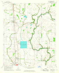
1966 · Merigold
USGS Topo · 1:24,000

1966 · Cleveland
USGS Topo · 1:24,000