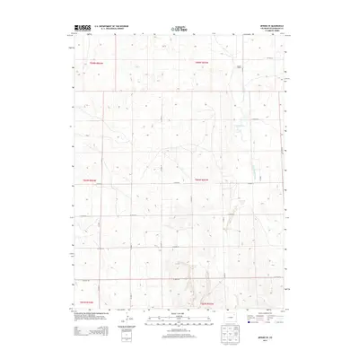
2013 Map of Merino SE
USGS Topo · Published 2013About this map
Flying Y Ranch sits in the northeast corner of this Colorado landscape, characterized by the expansive grid of the Public Land Survey System. Located in Washington County during the early 21st century, the terrain is defined by a network of sectional roads such as Co Road 55 and Co Road Y. The hydrology of this high plains region is marked by the presence of Twentytwo Slough, which meanders north to south across several townships, and the engineered A-27 Reservoir. These features suggest a landscape managed for cattle ranching and agricultural irrigation, where water management is central to the local economy. The map provides a clear view of land divisions across several townships, including t004n r053w and t005n r054w, useful for tracing historical property boundaries and ranching territories.
Find a feature on this map
21 named features on this map. Tap any name to fly to it.
Don’t see what you’re looking for? This feature index may not catch every label — zoom into the map to look around manually.
Map Details
Editions of this 2013 Merino SE Map
This is the sole edition of this map. No revisions or reprints were ever made.
Other maps of this area

1951 · Messex
USGS Topo · 1:24,000

1951 · Merino SW
USGS Topo · 1:24,000

1951 · Merino SE
USGS Topo · 1:24,000

1951 · Merino
USGS Topo · 1:24,000

1954 · Sterling
USGS Topo · 1:250,000

1958 · Sterling
USGS Topo · 1:250,000

1971 · Messex
USGS Topo · 1:24,000

1971 · Merino
USGS Topo · 1:24,000

1973 · Akron
USGS Topo · 1:24,000

1973 · Buffalo Springs Ranch NW
USGS Topo · 1:24,000