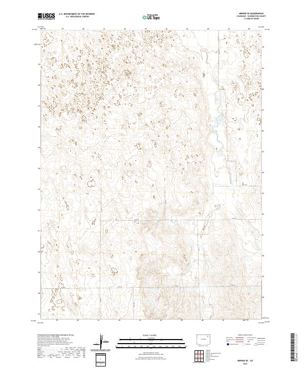
2022 Map of Merino SE
USGS Topo · Published 2022About this map
Twentytwo Slough meanders through the eastern portion of this landscape in Washington County, defining the drainage patterns of an open, rural terrain. This 2022 survey illustrates the geometric precision of the Public Land Survey System, with township and range lines like t4n r53w and t5n r53w partitioning the high plains. The map reveals a highly structured grid of county roads, including Co Rd Y, Co Rd Z, and Co Rd 50, which serve as the primary infrastructure for the area's agricultural and ranching operations. The terrain is characterized by subtle elevation changes and depressions, typical of this part of the Colorado plains before they meet the more dramatic landscapes to the west.
Find a feature on this map
15 named features on this map. Tap any name to fly to it.
Don’t see what you’re looking for? This feature index may not catch every label — zoom into the map to look around manually.
Map Details
Editions of this 2022 Merino SE Map
This is the sole edition of this map. No revisions or reprints were ever made.
Other maps of this area

1951 · Messex
USGS Topo · 1:24,000

1951 · Merino SW
USGS Topo · 1:24,000

1951 · Merino SE
USGS Topo · 1:24,000

1951 · Merino
USGS Topo · 1:24,000

1954 · Sterling
USGS Topo · 1:250,000

1958 · Sterling
USGS Topo · 1:250,000

1971 · Messex
USGS Topo · 1:24,000

1971 · Merino
USGS Topo · 1:24,000

1973 · Akron
USGS Topo · 1:24,000

1973 · Buffalo Springs Ranch NW
USGS Topo · 1:24,000