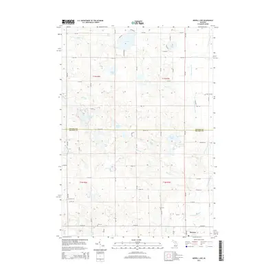
2014 Map of Merrill Lake
USGS Topo · Published 2014About this map
The village of Barryton serves as the primary settlement in this northern Michigan landscape, situated at the confluence of the N Br Chippewa River and Brown Cr. This area on the border of Osceola and Mecosta counties is characterized by a dense concentration of glacial kettle lakes and wetlands, including Merrill Lake, Big Lake, and the distinctive Rattail Lakes. The map reveals a high density of small water bodies like McElwin Lake, Negaunee Lake, and Town Line Lake that have historically shaped the local recreation and drainage patterns.
Find a feature on this map
52 named features on this map. Tap any name to fly to it.
Don’t see what you’re looking for? This feature index may not catch every label — zoom into the map to look around manually.
Map Details
Editions of this 2014 Merrill Lake Map
This is the sole edition of this map. No revisions or reprints were ever made.
Other maps of this area

1954 · Midland
USGS Topo · 1:250,000

1958 · Midland
USGS Topo · 1:250,000

1958 · Big Rapids
USGS Topo · 1:62,500

1959 · Midland
USGS Topo · 1:250,000

1959 · Lake
USGS Topo · 1:62,500

1959 · Evart
USGS Topo · 1:62,500

1964 · Mecosta NW
USGS Topo · 1:24,000

1964 · Sherman City
USGS Topo · 1:24,000

1966 · Midland
USGS Topo · 1:250,000
1976 · Big Rapids NE
USGS Topo · 1:24,000