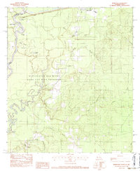
1982 Map of Merryville South
USGS Topo · Published 1983About this map
The Sabine River forms a winding natural boundary between Texas and Louisiana, carving a complex landscape of oxbow lakes and bottomlands. This 1980s era study reveals the deep integration of the river with the local geography, notably within the Beauregard Old River Game and Fish Preserve. Here, the shifting course of the water has left behind significant features like Horseshoe Lake, Alligator Lake, and Candy Lake, while Caney Island stands out amidst the riparian network.
Find a feature on this map
31 named features on this map. Tap any name to fly to it.
Don’t see what you’re looking for? This feature index may not catch every label — zoom into the map to look around manually.
Map Details
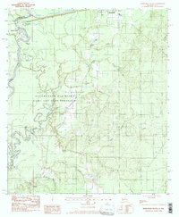
Editions of this 1982 Merryville South Map
2 editions found
Other maps of this area

1935 · Wilson Lake
USGS Topo · 1:31,680

1946 · Merryville
USGS Topo · 1:31,680

1947 · Singer
USGS Topo · 1:31,680

1947 · Pujo
USGS Topo · 1:31,680

1947 · Oretta
USGS Topo · 1:31,680

1947 · Wilson Lake
USGS Topo · 1:31,680

1947 · Hyatt
USGS Topo · 1:31,680

1947 · Bivens
USGS Topo · 1:31,680

1949 · Bancroft
USGS Topo · 1:31,680

1952 · Lake Charles
USGS Topo · 1:250,000