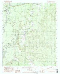
1982 Map of Merryville South
USGS Topo · Published 1997About this map
The Sabine River serves as the primary geographical divider between Newton County, Texas and Beauregard Parish, Louisiana. This 1982 survey reveals a landscape defined by meandering oxbows and floodplains, featuring numerous named water bodies such as Alligator Lake, Horseshoe Lake, and Candy Lake. The northern edge of the map is anchored by the community of Merryville, which includes the Merryville High School, while smaller named locales like Bivens and Bugger dot the southern reaches. Local family histories are reflected in the presence of Stark Cemetery, Burks Cemetery, and Meadow Cemetery. The transit network of the era is dominated by the Atchison Topeka and Santa Fe railroad, which parallels the Santa Fe road through the upper portion of the quadrangle, while much of the central river bottom is protected as the Beauregard Game and Fish Preserve.
Find a feature on this map
31 named features on this map. Tap any name to fly to it.
Don’t see what you’re looking for? This feature index may not catch every label — zoom into the map to look around manually.
Map Details
Editions of this 1982 Merryville South Map
2 editions found
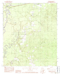
Other maps of this area

1935 · Wilson Lake
USGS Topo · 1:31,680

1946 · Merryville
USGS Topo · 1:31,680

1947 · Singer
USGS Topo · 1:31,680

1947 · Pujo
USGS Topo · 1:31,680

1947 · Oretta
USGS Topo · 1:31,680

1947 · Wilson Lake
USGS Topo · 1:31,680

1947 · Hyatt
USGS Topo · 1:31,680

1947 · Bivens
USGS Topo · 1:31,680

1949 · Bancroft
USGS Topo · 1:31,680

1952 · Lake Charles
USGS Topo · 1:250,000