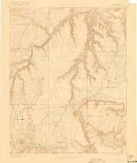
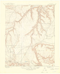
1893 Map of Mesa De Maya
USGS Topo · Published 1922About this map
The Purgatoire River carves a deep path through this high-plains landscape of southeastern Las Animas County, as documented by topographer Willard D. Johnson in 1890. The survey illustrates an era when small ranching and rail settlements like Troy and Indianapolis were emerging on the mesas and along the scattered watercourses of the Colorado frontier. The southwestern corner is defined by the Denver Texas & Ft Worth RR, which provided a critical connection for the settlement of Watervale and the surrounding rangeland.
Find a feature on this map
21 named features on this map. Tap any name to fly to it.
Don’t see what you’re looking for? This feature index may not catch every label — zoom into the map to look around manually.
Map Details
Editions of this 1893 Mesa De Maya Map
6 editions found
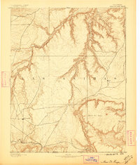
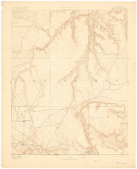
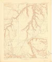
Other maps of this area

1891 · Higbee
USGS Topo · 1:125,000

1891 · Timpas
USGS Topo · 1:125,000

1891 · Apishapa
USGS Topo · 1:125,000

1891 · Mesa De Maya
USGS Topo · 1:125,000

1892 · Elmoro
USGS Topo · 1:125,000

1892 · Mt Carrizo
USGS Topo · 1:125,000

1893 · Higbee
USGS Topo · 1:125,000

1893 · Apishapa
USGS Topo · 1:125,000

1893 · Elmoro
USGS Topo · 1:125,000

1893 · Mesa de Maya
USGS Topo · 1:125,000