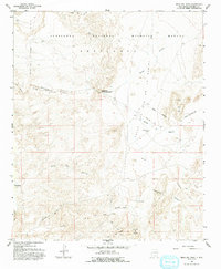
1959 Map of Mesa Del Yeso
USGS Topo · Published 1993About this map
The Sevilleta National Wildlife Refuge dominates this mid-century landscape in Socorro County, showing a transition from ranching heritage to protected conservation land. The map records the remnants of early settlement and land grants, most notably at Puertecito of Bowling Green and the Old Stapleton Ranch. The presence of the Sabino Ranch (Aband) and a cluster of Graves near the Arroyo de Alamillo provide significant data points for genealogical research and the study of rural habitation patterns along the high desert terrain. The drainage network is intricately mapped, featuring the Valle del Arroyo de la Parida and the Rio Grande corridor, while specific landmarks like Mesa del Yeso and Cerrillos del Coyote define the area's geological character. This 1959 survey captures a quiet period of Southwestern history before modern expansion, preserving the locations of springs like Ojo de la Parida and early resource explorations marked as Prospect.
Find a feature on this map
24 named features on this map. Tap any name to fly to it.
Don’t see what you’re looking for? This feature index may not catch every label — zoom into the map to look around manually.
Map Details
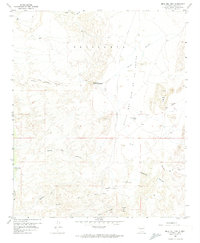
Editions of this 1959 Mesa Del Yeso Map
3 editions found
Other maps of this area

1906 · Socorro
USGS Topo · 1:62,500

1916 · La Joya
USGS Topo · 1:125,000

1952 · San Anacia
USGS Topo · 1:24,000

1952 · La Joya
USGS Topo · 1:24,000

1952 · Becker SW
USGS Topo · 1:24,000

1954 · Socorro
USGS Topo · 1:250,000

1958 · Socorro
USGS Topo · 1:250,000

1959 · Loma De Las Canas
USGS Topo · 1:24,000

1959 · Socorro
USGS Topo · 1:24,000

1959 · Mesa Del Yeso
USGS Topo · 1:24,000