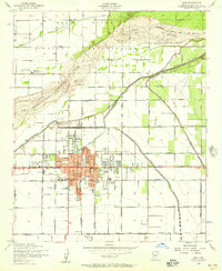
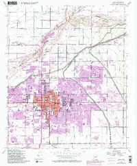
1952 Map of Mesa
USGS Topo · Published 1957About this map
Agricultural irrigation systems and the expanding urban core of Mesa characterize this early 1950s landscape. The Salt River defines the northern reaches, where the Salt River Indian Reservation Boundary separates tribal lands from the citrus groves and fields of the Salt River Valley. A complex network of waterways, including the Consolidated Canal, Tempe Canal, and Mesa Canal, feeds the surrounding farmland and the U of Arizona Experimental Farm. Within the city, the LDS Temple and Civic Center stand as prominent landmarks near the Southern Pacific rail line. Local education and community life are well-documented through a dense concentration of neighborhood institutions such as Washington Sch, Irving Sch, and Alma Sch, alongside the Salt River Indian Day Sch located to the north in the reservation.
Find a feature on this map
40 named features on this map. Tap any name to fly to it.
Don’t see what you’re looking for? This feature index may not catch every label — zoom into the map to look around manually.
Map Details
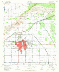
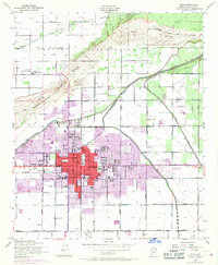
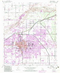
Editions of this 1952 Mesa Map
5 editions found
Other maps of this area

1904 · Camelback
USGS Topo · 1:62,500

1904 · Desert Well
USGS Topo · 1:62,500

1904 · Ft. McDowell
USGS Topo · 1:62,500

1906 · Camelsback
USGS Topo · 1:62,500

1906 · Ft. McDowell
USGS Topo · 1:62,500

1906 · Desert Well
USGS Topo · 1:62,500

1913 · Mesa
USGS Topo · 1:62,500

1915 · Mesa
USGS Topo · 1:62,500

1930 · Cave Creek
USGS Topo · 1:125,000

1939 · Cave Creek
USGS Topo · 1:125,000