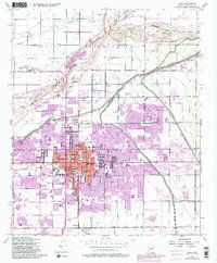
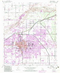
1952 Map of Mesa
USGS Topo · Published 1983About this map
Mesa stands at the center of this detailed topographical study, reflecting a landscape shaped by significant irrigation infrastructure and cultural landmarks. The prominent LDS Temple and a dense network of local education centers like Westwood High Sch and Franklin Sch define the urban core. To the north, the Salt River Indian Reservation Boundary separates the expanding city from the Salt River Reservation, where the Salt River Indian Day Sch and Salt River Reservation Clinic are located near the banks of the Salt River.
Find a feature on this map
44 named features on this map. Tap any name to fly to it.
Don’t see what you’re looking for? This feature index may not catch every label — zoom into the map to look around manually.
Map Details
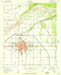
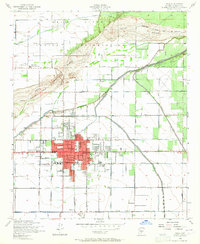
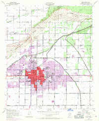
Editions of this 1952 Mesa Map
5 editions found
Other maps of this area

1904 · Camelback
USGS Topo · 1:62,500

1904 · Desert Well
USGS Topo · 1:62,500

1904 · Ft. McDowell
USGS Topo · 1:62,500

1906 · Camelsback
USGS Topo · 1:62,500

1906 · Ft. McDowell
USGS Topo · 1:62,500

1906 · Desert Well
USGS Topo · 1:62,500

1913 · Mesa
USGS Topo · 1:62,500

1915 · Mesa
USGS Topo · 1:62,500

1930 · Cave Creek
USGS Topo · 1:125,000

1939 · Cave Creek
USGS Topo · 1:125,000