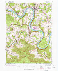
1945 Map of Meshoppen
USGS Topo · Published 1976About this map
The Susquehanna River dominates this Wyoming County landscape, carving a dramatic path through the river hills via the sharp Jayne Bend and the broad oxbow known as The Neck. The mid-20th-century economy is clearly visible in the industrial and transport infrastructure lining the banks, particularly the Lehigh Valley corridor. Key railroad landmarks like the Vosburg Tunnel and the Mehoopany Sta indicate the vital role of rail in connecting settlements like Meshoppen and Mehoopany to the wider region.
Find a feature on this map
45 named features on this map. Tap any name to fly to it.
Don’t see what you’re looking for? This feature index may not catch every label — zoom into the map to look around manually.
Map Details
Editions of this 1945 Meshoppen Map
4 editions found
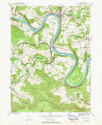
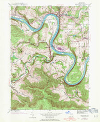
Other maps of this area

1891 · Harveys Lake
USGS Topo · 1:62,500

1893 · Harvey Lake
USGS Topo · 1:62,500

1893 · Pittston
USGS Topo · 1:62,500

1943 · Scranton
USGS Topo · 1:125,000

1945 · Meshoppen
USGS Topo · 1:62,500

1945 · Auburn Center
USGS Topo · 1:24,000

1945 · Jenningsville
USGS Topo · 1:24,000

1945 · Meshoppen
USGS Topo · 1:24,000

1945 · Laceyville
USGS Topo · 1:24,000

1946 · Tunkhannock
USGS Topo · 1:62,500
Featured Places
- Mehoopany Township, PA
- Meshoppen, PA
- Forkston Township, PA
- Eaton Township, PA
- Scottsville, Windham Township