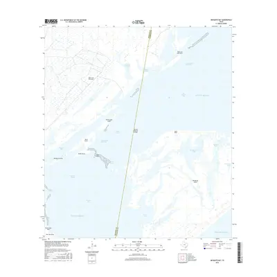
2016 Map of Mesquite Bay
USGS Topo · Published 2016About this map
Matagorda Island and San Jose Island stand as prominent barrier landforms along the Gulf Coast, defining the complex estuarine environment of the Texas shoreline. This coastal landscape is marked by the intricate transit route of the Intracostal Waterway, which cuts through the bay system between Black Jack Peninsula and the open Gulf of Mexico. The area is characterized by shallow navigable features like Ayres Dugout, Belden Dugout, and Cedar Dugout, suggesting a history of managed water access through the bays. Natural landmarks such as the Second Chain of Islands and Ayres Reef offer a detailed look at the subtidal and intertidal geography where San Antonio Bay meets Mesquite Bay. This survey captures the shifting nature of these coastal boundaries and the critical maritime passages that serve the region's fishing and commercial traffic.
Find a feature on this map
29 named features on this map. Tap any name to fly to it.
Don’t see what you’re looking for? This feature index may not catch every label — zoom into the map to look around manually.
Map Details
Editions of this 2016 Mesquite Bay Map
This is the sole edition of this map. No revisions or reprints were ever made.
Other maps of this area

1952 · Mosquito Point
USGS Topo · 1:24,000

1952 · St. Charles Bay SW
USGS Topo · 1:24,000

1952 · St. Charles Bay
USGS Topo · 1:24,000

1952 · Mesquite Bay
USGS Topo · 1:24,000

1952 · Tivoli SE
USGS Topo · 1:24,000

1952 · Panther Point
USGS Topo · 1:24,000

1952 · Tivoli SW
USGS Topo · 1:24,000

1952 · St. Charles Bay SE
USGS Topo · 1:24,000

1953 · Beeville
USGS Topo · 1:250,000

1956 · Beeville
USGS Topo · 1:250,000