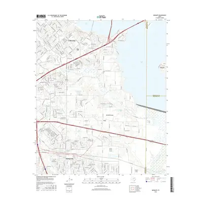
2016 Map of Mesquite
USGS Topo · Published 2016About this map
The cities of Mesquite and Garland dominate this portion of Dallas County, where urban development meets the expansive eastern wetlands. The map illustrates a landscape transitioned from agrarian roots to a sprawling suburban network, yet pockets of early local history remain visible in landmarks like Pleasant Ridge Cem and the community of Tripp. The hydrology of the area is particularly well-defined, showing the intricate drainage systems of Duck Cr and N Mesquite Cr flowing toward the wider basin of the E Fork Trinity River.
Find a feature on this map
313 named features on this map. Tap any name to fly to it.
Don’t see what you’re looking for? This feature index may not catch every label — zoom into the map to look around manually.
Map Details
Editions of this 2016 Mesquite Map
This is the sole edition of this map. No revisions or reprints were ever made.
Other maps of this area

1891 · Dallas
USGS Topo · 1:125,000

1893 · Dallas
USGS Topo · 1:125,000

1912 · Rockwall
USGS Topo · 1:31,680

1919 · Royse City
USGS Topo · 1:62,500

1954 · Dallas
USGS Topo · 1:250,000

1956 · Kaufman
USGS Topo · 1:62,500

1957 · White Rock Lake
USGS Topo · 1:24,000

1958 · Dallas
USGS Topo · 1:250,000

1958 · Hutchins
USGS Topo · 1:24,000

1958 · White Rock Lake
USGS Topo · 1:24,000