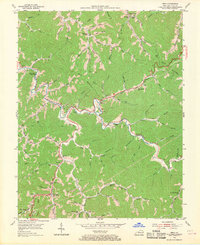
1954 Map of Meta
USGS Topo · Published 1970About this map
Johns Creek snakes through the heart of this Pike County landscape, creating a winding corridor for early 1950s settlement. The narrow valley floors and hollows are dotted with small community centers like Meta and Zebulon, the latter featuring a distinct Zebulon PO and Zebulon Sch. The geography of education and faith is remarkably dense here, with numerous small schoolhouses such as the Stinking Branch Sch, Lawson Sch, and Grassy Br Sch serving isolated families living along the creek's many tributaries.
Find a feature on this map
94 named features on this map. Tap any name to fly to it.
Don’t see what you’re looking for? This feature index may not catch every label — zoom into the map to look around manually.
Map Details
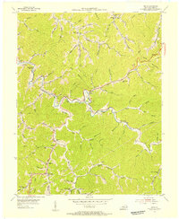
Editions of this 1954 Meta Map
2 editions found
Other maps of this area

1886 · Prestonsburg
USGS Topo · 1:125,000

1886 · Grundy
USGS Topo · 1:125,000

1887 · Warfield
USGS Topo · 1:125,000

1890 · Whitesburg
USGS Topo · 1:125,000

1890 · Grundy
USGS Topo · 1:125,000

1891 · Warfield
USGS Topo · 1:125,000

1892 · Grundy
USGS Topo · 1:125,000

1892 · Whitesburg
USGS Topo · 1:125,000

1892 · Prestonsburg
USGS Topo · 1:125,000

1914 · Laynesville
USGS Topo · 1:48,000