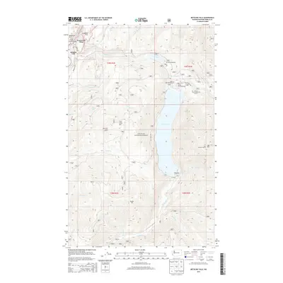
2014 Map of Metaline Falls
USGS Topo · Published 2014About this map
Metaline Falls and the neighboring Pend Oreille Village anchor the northwestern corner of this territory, where the Pend Oreille River flows past Washington Rock. The landscape is dominated by the vast Colville National Forest, characterized by steep elevation changes between valley floors and peaks like Hall Mtn and Sand Creek Mtn. High-altitude fire detection history is evident at the Hall Mountain Lookout and Upper Sand Creek Lookout.
Find a feature on this map
42 named features on this map. Tap any name to fly to it.
Don’t see what you’re looking for? This feature index may not catch every label — zoom into the map to look around manually.
Map Details
Editions of this 2014 Metaline Falls Map
This is the sole edition of this map. No revisions or reprints were ever made.
Other maps of this area

1934 · Metaline
USGS Topo · 1:125,000

1942 · Metaline
USGS Topo · 1:125,000

1958 · Sandpoint
USGS Topo · 1:250,000

1963 · Sandpoint
USGS Topo · 1:250,000

1967 · Gypsy Peak
USGS Topo · 1:24,000

1967 · Ione
USGS Topo · 1:24,000

1967 · Scotchman Lake
USGS Topo · 1:24,000

1967 · Boundary Dam
USGS Topo · 1:24,000

1967 · Metaline
USGS Topo · 1:24,000

1967 · Metaline Falls
USGS Topo · 1:24,000