
1967 Map of Metaline
USGS Topo · Published 1971About this map
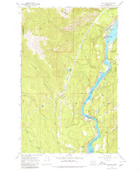
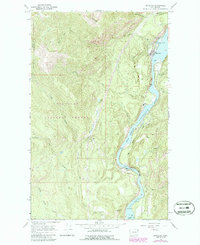
The Pend Oreille River corridor defines this northeastern Washington landscape, showing the industrial and transportation infrastructure that supported the community of Metaline. The mid-century river level is carefully documented at two specific points, recorded as Normal Pool Elevation 1990 and Normal Pool Elevation 2031, reflecting the region's managed water resources. Along the river's western bank, the Chicago Milwaukee St Paul and Pacific railroad follows the shoreline, providing a vital link for the local mining economy.
Find a feature on this map
43 named features on this map. Tap any name to fly to it.
Don’t see what you’re looking for? This feature index may not catch every label — zoom into the map to look around manually.
Map Details
Editions of this 1967 Metaline Map
3 editions found
Other maps of this area

1929 · Colville
USGS Topo · 1:125,000

1933 · Colville
USGS Topo · 1:125,000

1934 · Metaline
USGS Topo · 1:125,000

1942 · Metaline
USGS Topo · 1:125,000

1952 · Deep Lake
USGS Topo · 1:24,000

1952 · Leadpoint
USGS Topo · 1:24,000

1958 · Sandpoint
USGS Topo · 1:250,000

1963 · Sandpoint
USGS Topo · 1:250,000
1967 · Aladdin Mtn
USGS Topo · 1:24,000

1967 · Ione
USGS Topo · 1:24,000