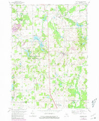
1968 Map of Metamora
USGS Topo · Published 1981About this map
Metamora-Hadley State Recreation Area dominates the central landscape of this Lapeer County region, where a cluster of glacial lakes including Lake Minnewanna and Merritt Lake provides the focal point for mid-century recreation. The village of Metamora sits along the Central railroad line, serving as a historic crossroads for the surrounding townships of Elba, Lapeer, and Hadley. The landscape is characterized by its numerous small water bodies, such as Lake Lapeer and Wolf Lake, and an intricate network of local roads like Pratt Road and Brauer Road.
Find a feature on this map
76 named features on this map. Tap any name to fly to it.
Don’t see what you’re looking for? This feature index may not catch every label — zoom into the map to look around manually.
Map Details
Editions of this 1968 Metamora Map
2 editions found
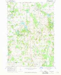
Other maps of this area

1943 · Ortonville
USGS Topo · 1:24,000

1943 · Lake Orion
USGS Topo · 1:24,000

1943 · Oxford
USGS Topo · 1:24,000

1943 · Metamora
USGS Topo · 1:24,000

1945 · Thornville
USGS Topo · 1:24,000

1945 · Oxford
USGS Topo · 1:24,000
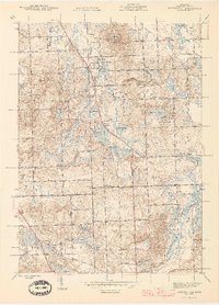
1945 · Ortonville
USGS Topo · 1:24,000

1945 · Hadley
USGS Topo · 1:24,000
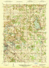
1945 · Lake Orion
USGS Topo · 1:24,000

1946 · Metamora
USGS Topo · 1:24,000
Featured Places
- Oxford Charter Township, MI
- Metamora, MI
- Brandon Charter Township, MI
- Hadley Township, MI
- Elba Township, MI