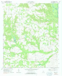
1972 Map of Methvins
USGS Topo · Published 1991About this map
Flint River waters define the northeastern corner of this landscape, carving a boundary between Dooly and Sumter counties. The terrain is characterized by a dense network of creek branches and low-lying wetlands, notably around Browns Millpond and the meandering paths of Lime Creek and Little Lime Creek. This rural section of Georgia, as it appeared in the early 1970s, is anchored by the small settlements of Methvins and Lamar, connected by a series of light-duty and unimproved roads that trace the rises between swampy bottomlands.
Find a feature on this map
21 named features on this map. Tap any name to fly to it.
Don’t see what you’re looking for? This feature index may not catch every label — zoom into the map to look around manually.
Map Details
Editions of this 1972 Methvins Map
2 editions found
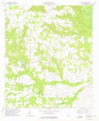
Other maps of this area

1953 · Dothan
USGS Topo · 1:250,000

1953 · Waycross
USGS Topo · 1:250,000

1954 · Dothan
USGS Topo · 1:250,000

1955 · Dothan
USGS Topo · 1:250,000

1955 · Phenix City
USGS Topo · 1:250,000

1956 · Leslie
USGS Topo · 1:62,500

1957 · Phenix City
USGS Topo · 1:250,000

1957 · Macon
USGS Topo · 1:250,000

1958 · Macon
USGS Topo · 1:250,000

1958 · Phenix City
USGS Topo · 1:250,000