
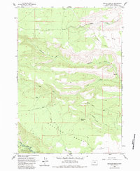
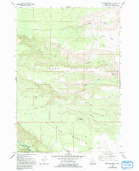
1962 Map of Metolius Bench
USGS Topo · Published 1963About this map
The Metolius River flows through the southwestern corner of this landscape, marking a transition between the rugged volcanic plateaus and the sheltered canyons of the Deschutes National Forest. Surveyed in the early 1960s, the map highlights the intricate relationship between the elevated Tenino Bench and the deep drainage of Seekseekwa Creek. These high benches are crisscrossed by a network of primitive routes, including the Tenino Road and Metolius Bench Road, which provided essential access for forest management and early recreation.
Find a feature on this map
25 named features on this map. Tap any name to fly to it.
Don’t see what you’re looking for? This feature index may not catch every label — zoom into the map to look around manually.
Map Details
Editions of this 1962 Metolius Bench Map
3 editions found
Other maps of this area

1927 · Mt. Jefferson
USGS Topo · 1:125,000

1928 · Madras
USGS Topo · 1:125,000

1930 · Mt. Jefferson
USGS Topo · 1:125,000

1931 · Madras
USGS Topo · 1:125,000

1955 · Bend
USGS Topo · 1:250,000

1957 · Bend
USGS Topo · 1:250,000

1958 · Bend
USGS Topo · 1:250,000

1961 · Whitewater River
USGS Topo · 1:62,500

1961 · Fort Butte
USGS Topo · 1:62,500

1962 · Fly Creek
USGS Topo · 1:24,000