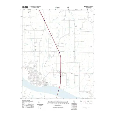
2010 Map of Metropolis
USGS Topo · Published 2010About this map
Metropolis and the riverfront community of Massac City sit at the southern edge of the Illinois border, overlooking the Ohio River as it passes toward the Mississippi confluence. This 2010 topographic survey documents the modern layout of the city, including the central Metropolis Post Office, while capturing a high density of rural cemeteries and family landmarks that define the landscape further inland. To the north and east, the terrain is shaped by the winding paths of Massac Creek, Fourmile Creek, and Sevenmile Creek, which drain the lowlands around Hunnerkoch Lake.
Find a feature on this map
53 named features on this map. Tap any name to fly to it.
Don’t see what you’re looking for? This feature index may not catch every label — zoom into the map to look around manually.
Map Details
Editions of this 2010 Metropolis Map
This is the sole edition of this map. No revisions or reprints were ever made.
Other maps of this area

1917 · Brownfield
USGS Topo · 1:62,500

1918 · Vienna
USGS Topo · 1:62,500

1919 · Vienna
USGS Topo · 1:62,500

1926 · Paducah
USGS Topo · 1:62,500

1928 · La Center
USGS Topo · 1:62,500

1929 · Paducah
USGS Topo · 1:62,500

1932 · La Center
USGS Topo · 1:62,500

1936 · Paducah
USGS Topo · 1:24,000

1940 · Paducah
USGS Topo · 1:62,500

1942 · Vienna
USGS Topo · 1:62,500