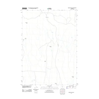
2012 Map of Mexican Pass
USGS Topo · Published 2012About this map
Mexican Pass serves as the central focal point of this Wyoming landscape, where the high desert terrain is defined by a series of drainages and seasonal water sources. The Mexican Pass Rd traverses the north-south axis of the quadrangle, providing access to isolated outposts such as Engle Ranch near the mouth of Engle Canyon. This 2012 survey illustrates a land where water is the most critical resource, marked by the presence of Mexican Spring, Indian Trails Spring, and Water Cress Spring.
Find a feature on this map
15 named features on this map. Tap any name to fly to it.
Don’t see what you’re looking for? This feature index may not catch every label — zoom into the map to look around manually.
Map Details
Editions of this 2012 Mexican Pass Map
This is the sole edition of this map. No revisions or reprints were ever made.
Other maps of this area

1950 · Harris Bridge
USGS Topo · 1:24,000

1950 · Mexican Pass SW
USGS Topo · 1:24,000

1951 · Mexican Pass SE
USGS Topo · 1:24,000

1951 · Mexican Pass
USGS Topo · 1:24,000

1951 · Morrison Canyon
USGS Topo · 1:24,000

1951 · Jenkins Mountain
USGS Topo · 1:24,000

1952 · Kates Basin
USGS Topo · 1:24,000

1955 · Thermopolis
USGS Topo · 1:250,000
1957 · Jenkins Mountain
USGS Topo · 1:24,000

1958 · Thermopolis
USGS Topo · 1:250,000