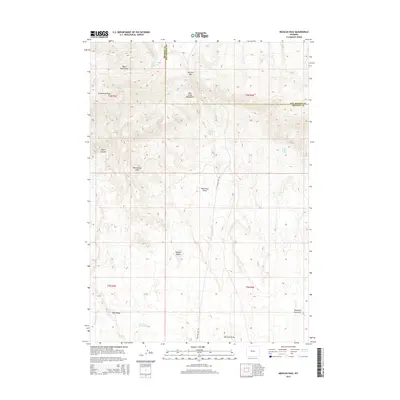
2015 Map of Mexican Pass
USGS Topo · Published 2015About this map
Mexican Pass serves as a critical geographic notch through the Owl Creek Mountains, defining the boundary where Hot Springs and Fremont counties meet. This 2015 survey documents the high-desert landscape of central Wyoming, emphasizing the vital importance of water in an arid environment. Named water sources like Mexican Spring, Black Rock Spring, and Indian Trails Spring are scattered across the terrain, indicating points of historic and ecological significance.
Find a feature on this map
24 named features on this map. Tap any name to fly to it.
Don’t see what you’re looking for? This feature index may not catch every label — zoom into the map to look around manually.
Map Details
Editions of this 2015 Mexican Pass Map
This is the sole edition of this map. No revisions or reprints were ever made.
Other maps of this area

1950 · Harris Bridge
USGS Topo · 1:24,000

1950 · Mexican Pass SW
USGS Topo · 1:24,000

1951 · Mexican Pass SE
USGS Topo · 1:24,000

1951 · Mexican Pass
USGS Topo · 1:24,000

1951 · Morrison Canyon
USGS Topo · 1:24,000

1951 · Jenkins Mountain
USGS Topo · 1:24,000

1952 · Kates Basin
USGS Topo · 1:24,000

1955 · Thermopolis
USGS Topo · 1:250,000
1957 · Jenkins Mountain
USGS Topo · 1:24,000

1958 · Thermopolis
USGS Topo · 1:250,000