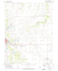
1972 Map of Mexico East
USGS Topo · Published 1974About this map
Mexico serves as the focal point for this eastern Audrain County landscape in the early 1970s, notable for its concentrated industrial and educational infrastructure. The Missouri Military Academy and McMillan School anchor the residential developments, while the eastern fringes of the city give way to the Mexico Memorial Airport and a heavy concentration of claypits and extraction sites. This area reflects a mid-century economy driven by brick-making and logistics, with several major rail lines including the Gulf Mobile and Ohio and the Norfolk and Western converging to serve the local industry.
Find a feature on this map
42 named features on this map. Tap any name to fly to it.
Don’t see what you’re looking for? This feature index may not catch every label — zoom into the map to look around manually.
Map Details
Editions of this 1972 Mexico East Map
2 editions found
Other maps of this area

1890 · Mexico
USGS Topo · 1:125,000

1932 · Mexico
USGS Topo · 1:62,500

1942 · Wellsville
USGS Topo · 1:62,500

1945 · Florida
USGS Topo · 1:62,500

1945 · Perry
USGS Topo · 1:62,500

1948 · Quincy
USGS Topo · 1:250,000

1956 · Quincy
USGS Topo · 1:250,000
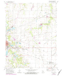
1972 · Mexico East
USGS Topo · 1:24,000
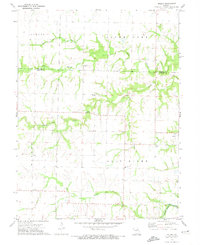
1972 · Molino
USGS Topo · 1:24,000
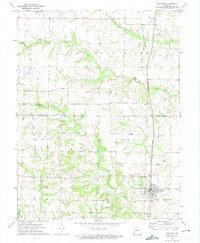
1972 · Auxvasse
USGS Topo · 1:24,000