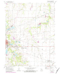
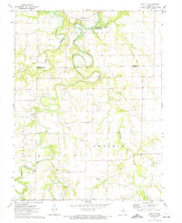
1972 Map of Mexico East
USGS Topo · Published 1972About this map
The eastern edges of Mexico, Missouri, unfold across this 1970s landscape, where industrial progress and local recreation meet. The map reveals a dense network of water management and resource extraction, characterized by numerous Claypits and substantial reservoirs like Burlington Lake and Blackmore Lake. In the town's vicinity, significant institutions such as the Missouri Military Academy and McMillan School stand alongside community hubs like the Mexico Country Club.
Find a feature on this map
44 named features on this map. Tap any name to fly to it.
Don’t see what you’re looking for? This feature index may not catch every label — zoom into the map to look around manually.
Map Details
Editions of this 1972 Mexico East Map
2 editions found
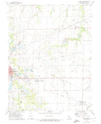
Other maps of this area

1890 · Mexico
USGS Topo · 1:125,000

1932 · Mexico
USGS Topo · 1:62,500

1942 · Wellsville
USGS Topo · 1:62,500

1945 · Florida
USGS Topo · 1:62,500

1945 · Perry
USGS Topo · 1:62,500

1948 · Quincy
USGS Topo · 1:250,000

1956 · Quincy
USGS Topo · 1:250,000
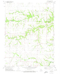
1972 · Molino
USGS Topo · 1:24,000
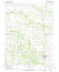
1972 · Auxvasse
USGS Topo · 1:24,000
1972 · Santa Fe
USGS Topo · 1:24,000