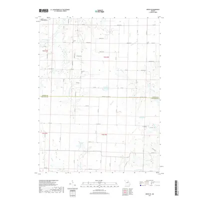
2017 Map of Mexico SE
USGS Topo · Published 2017About this map
The S Fork Salt River and W Fork Cuivre River converge in this agricultural landscape spanning the border of Audrain and Callaway counties. The area is defined by a dense network of rural routes, including Hwy JJ and State Hwy A, which connect small family farms and local landmarks. Genealogists will find several notable burial sites scattered across the townships, such as Lockridge Cem near the northern border and New Hope Cem further south.
Find a feature on this map
74 named features on this map. Tap any name to fly to it.
Don’t see what you’re looking for? This feature index may not catch every label — zoom into the map to look around manually.
Map Details
Editions of this 2017 Mexico SE Map
This is the sole edition of this map. No revisions or reprints were ever made.
Other maps of this area

1890 · Mexico
USGS Topo · 1:125,000

1890 · Fulton
USGS Topo · 1:125,000

1928 · Fulton
USGS Topo · 1:62,500

1931 · Fulton
USGS Topo · 1:62,500

1932 · Mexico
USGS Topo · 1:62,500

1940 · Montgomery City
USGS Topo · 1:62,500

1942 · Montgomery City
USGS Topo · 1:62,500

1942 · Wellsville
USGS Topo · 1:62,500

1948 · Quincy
USGS Topo · 1:250,000

1949 · Saint Louis
USGS Topo · 1:250,000