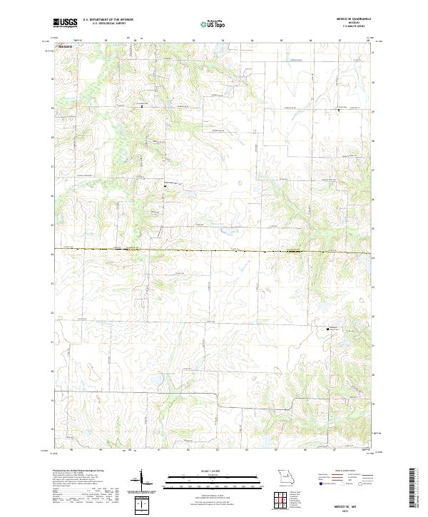
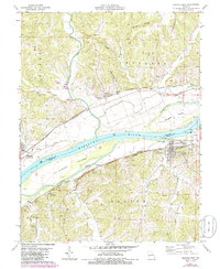
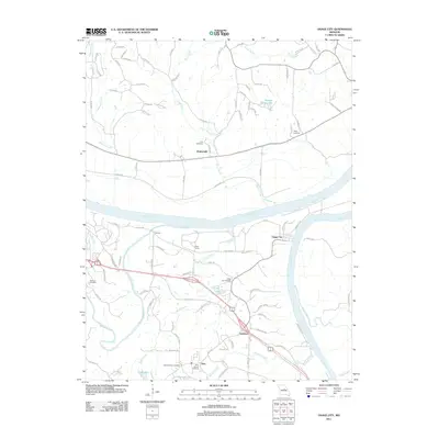
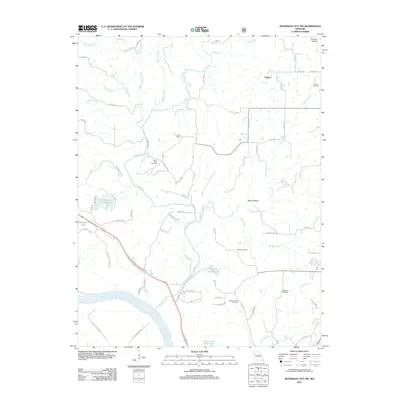
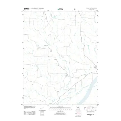
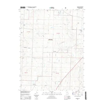
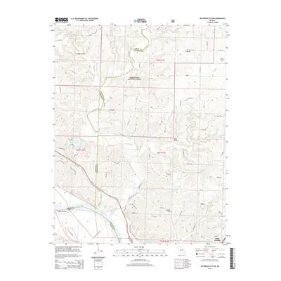
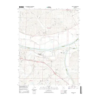
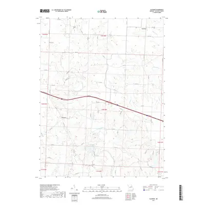
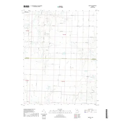
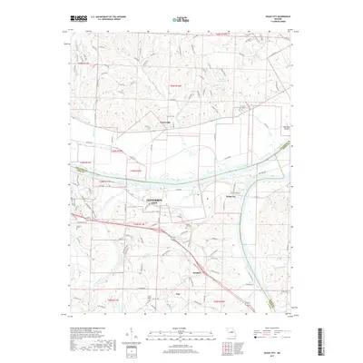
2021 Map of Mexico SE
USGS Topo · Published 2021About this map
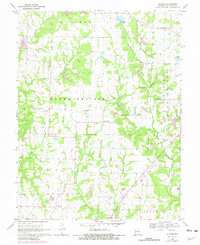
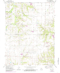
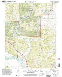
The Audrain Co Callaway Co line bisects this agricultural landscape, where the headwaters of several major regional drainage systems originate. The terrain is defined by the diverging paths of the S Fork Salt River, the W Fork Cuivre River, and the Loutre River. This hydrology reflects a local topographical high point that sends water towards different river basins, a characteristic that historically dictated early settlement patterns and road placements.
Find a feature on this map
71 named features on this map. Tap any name to fly to it.
Don’t see what you’re looking for? This feature index may not catch every label — zoom into the map to look around manually.
Map Details
Editions of this 2021 Mexico SE Map
This is the sole edition of this map. No revisions or reprints were ever made.
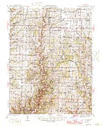
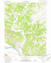
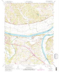
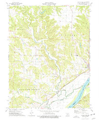
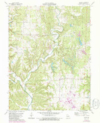
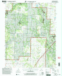
Historical Maps of Mexico Through Time
68 maps found

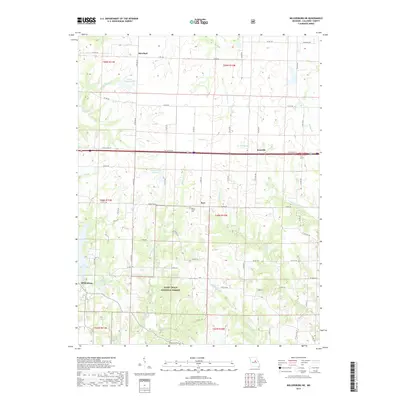
1944 Millersburg
Callaway County, MO
1946 Millersburg
Callaway County, MO
1962 Jefferson City NW
Callaway County, MO
1967 Osage City
Callaway County, MO
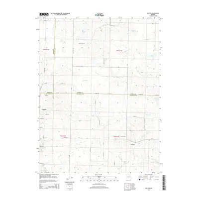
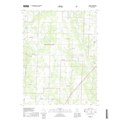
1969 Guthrie
Callaway County, MO
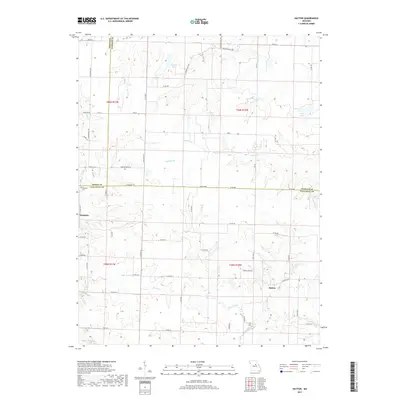
1969 Hatton
Callaway County, MO
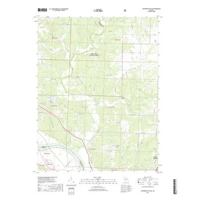
1969 Jefferson City NW
Callaway County, MO
1969 Millersburg NE
Callaway County, MO
1972 Mexico SE
Callaway County, MO
1973 Calwood
Callaway County, MO
1973 Readsville
Callaway County, MO
1973 Williamsburg
Callaway County, MO
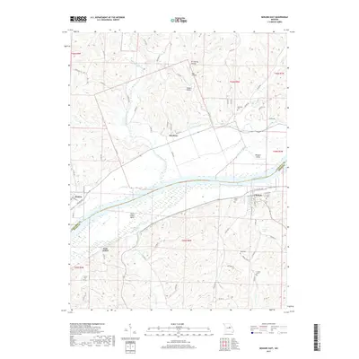
1975 Mokane East
Callaway County, MO
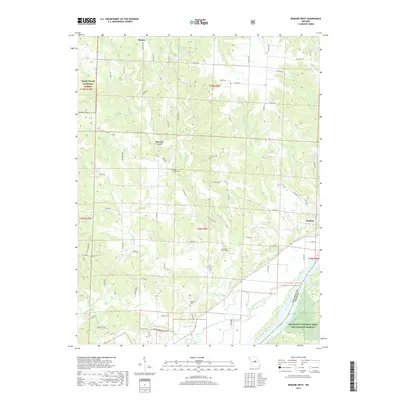
1975 Mokane West
Callaway County, MO
1975 Reform
Callaway County, MO
2000 Guthrie
Callaway County, MO
2000 Jefferson City NW
Callaway County, MO
2000 Millersburg NE
Callaway County, MO
2000 Mokane East
Callaway County, MO
2000 Mokane West
Callaway County, MO
2011 Osage City
Callaway County, MO
2012 Calwood
Callaway County, MO
2012 Guthrie
Callaway County, MO
2012 Hatton
Callaway County, MO
2012 Jefferson City NW
Callaway County, MO
2012 Mexico SE
Callaway County, MO
2012 Millersburg NE
Callaway County, MO
2012 Mokane East
Callaway County, MO
2012 Mokane West
Callaway County, MO
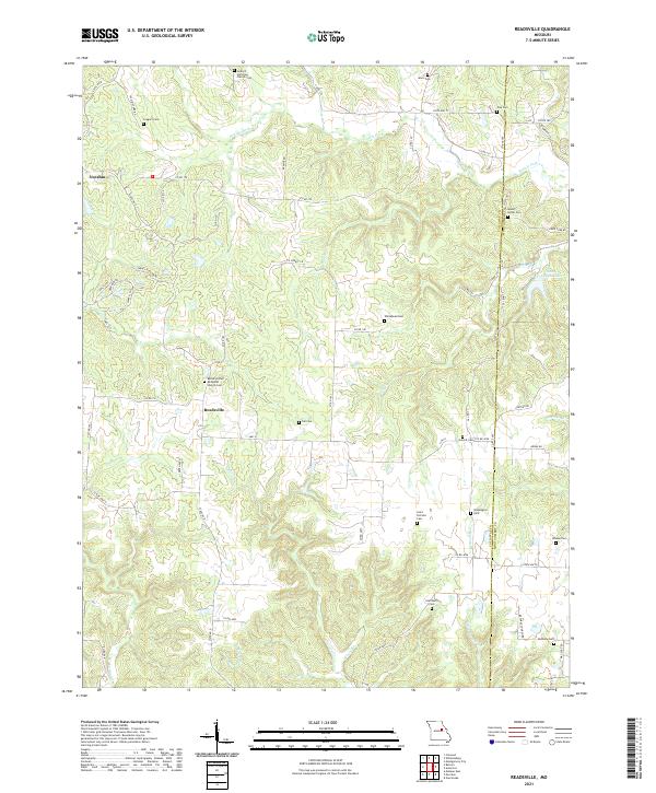
2012 Readsville
Callaway County, MO
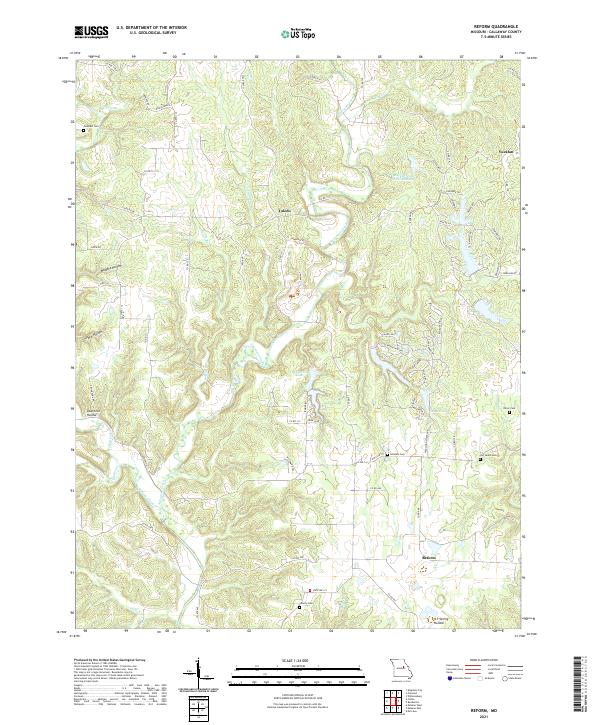
2012 Reform
Callaway County, MO
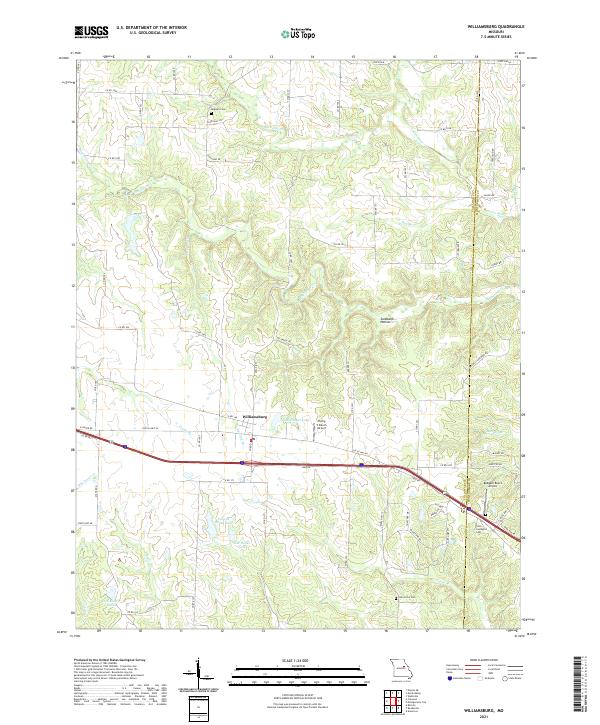
2012 Williamsburg
Callaway County, MO
2014 Hatton
Callaway County, MO
2014 Mexico SE
Callaway County, MO
2015 Calwood
Callaway County, MO
2015 Guthrie
Callaway County, MO
2015 Jefferson City NW
Callaway County, MO
2015 Millersburg NE
Callaway County, MO
2015 Mokane East
Callaway County, MO
2015 Mokane West
Callaway County, MO
2015 Osage City
Callaway County, MO
2015 Readsville
Callaway County, MO
2015 Reform
Callaway County, MO
2015 Williamsburg
Callaway County, MO
2017 Calwood
Callaway County, MO
2017 Guthrie
Callaway County, MO
2017 Hatton
Callaway County, MO
2017 Jefferson City NW
Callaway County, MO
2017 Mexico SE
Callaway County, MO
2017 Millersburg NE
Callaway County, MO
2017 Mokane East
Callaway County, MO
2017 Mokane West
Callaway County, MO
2017 Osage City
Callaway County, MO
2017 Readsville
Callaway County, MO
2017 Reform
Callaway County, MO
2017 Williamsburg
Callaway County, MO
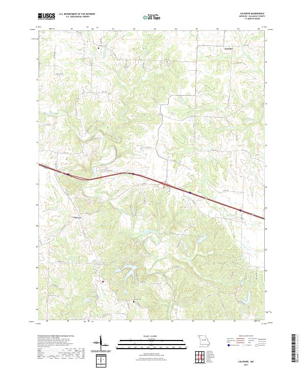
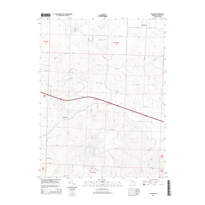
2021 Calwood
Callaway County, MO
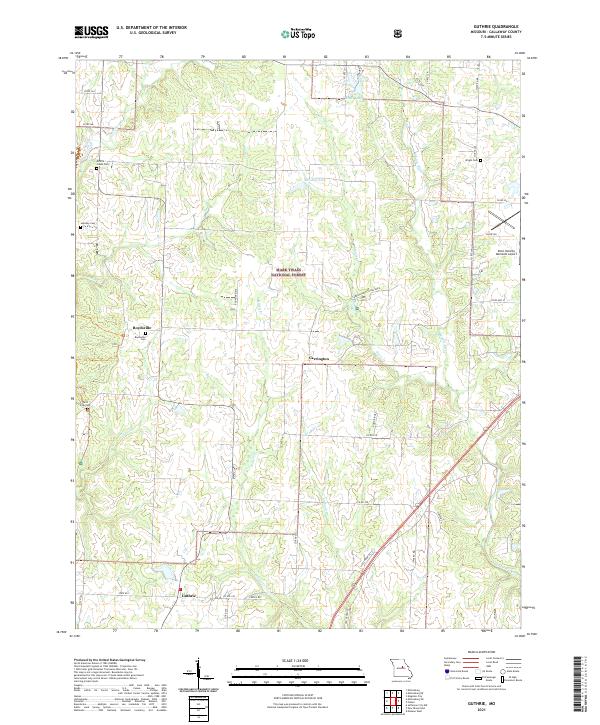
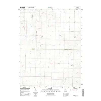
2021 Guthrie
Callaway County, MO
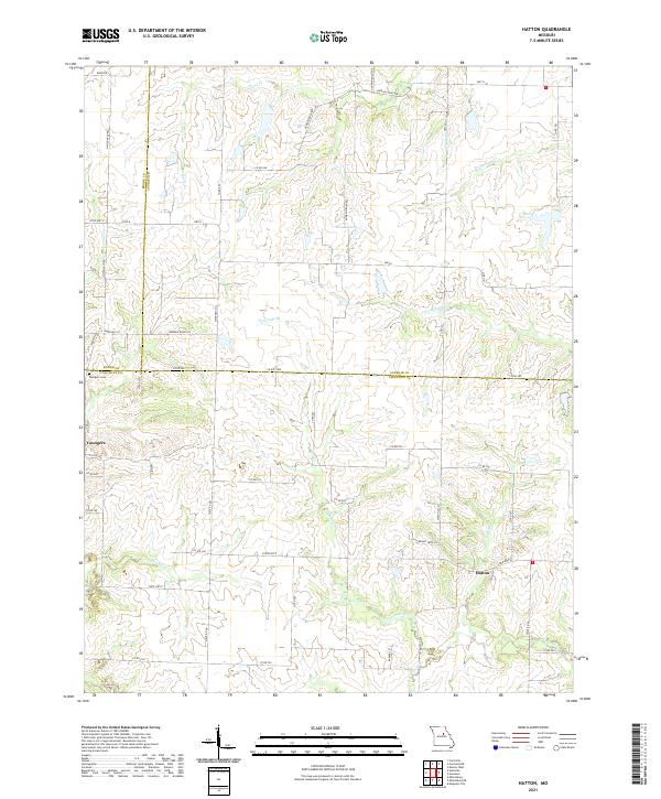
2021 Hatton
Callaway County, MO
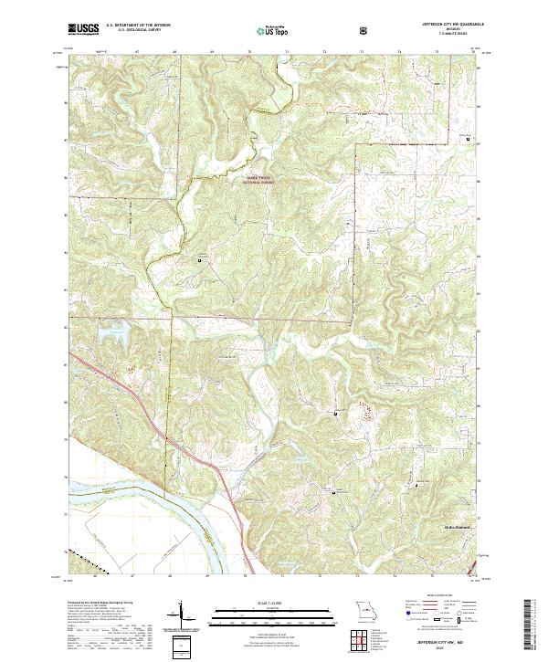
2021 Jefferson City NW
Callaway County, MO
2021 Mexico SE
Callaway County, MO
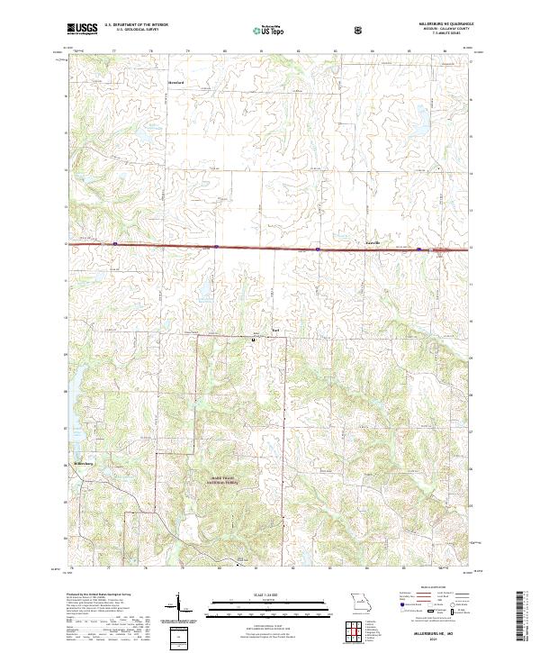
2021 Millersburg NE
Callaway County, MO
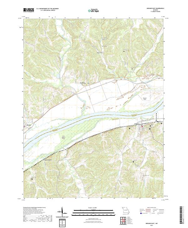
2021 Mokane East
Callaway County, MO
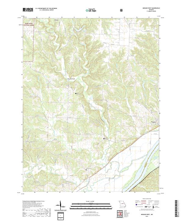
2021 Mokane West
Callaway County, MO
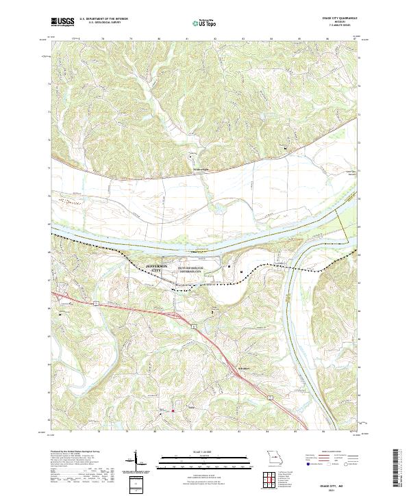
2021 Osage City
Callaway County, MO
2021 Readsville
Callaway County, MO
2021 Reform
Callaway County, MO
2021 Williamsburg
Callaway County, MO