
1944 Map of Miakka
USGS Topo · Published 1944About this map
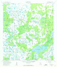
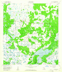
Lake Myakka dominates the southern landscape of this 1944 survey, serving as a focal point for the surrounding Myakka State Forest and Park. The terrain is defined by a complex network of wetlands and watercourses, including Indian Creek, Gum Slough, and Clay Gulley, illustrating the hydrologic character of the Florida interior before extensive modern drainage. Human activity is marked by isolated cattle ranching outposts such as Ox Bo Ranch, Hi Hat Ranch, and T C Ranch, along with the small settlement of Miakka to the east. Transportation through this marshy expanse relied on the Atlantic Coast Line railroad and the Myakka Road, which provided vital connections between these remote precincts. This period of mapping by the Corps of Engineers, U.S. Army provides a clear view of land use during the mid-1940s, where traditional Florida ranching and state-led conservation efforts shared the same territory.
Find a feature on this map
26 named features on this map. Tap any name to fly to it.
Don’t see what you’re looking for? This feature index may not catch every label — zoom into the map to look around manually.
Map Details
Editions of this 1944 Miakka Map
3 editions found
Other maps of this area

1943 · Laurel
USGS Topo · 1:24,000

1944 · Lower Myakka Lake
USGS Topo · 1:31,680

1944 · Verna
USGS Topo · 1:31,680

1944 · Laurel
USGS Topo · 1:31,680

1944 · Lorraine
USGS Topo · 1:31,680

1947 · Bee Ridge
USGS Topo · 1:24,000

1956 · Myakka City
USGS Topo · 1:24,000

1956 · Myakka City NW
USGS Topo · 1:24,000

1956 · Murdock NW
USGS Topo · 1:24,000

1956 · Tampa
USGS Topo · 1:250,000