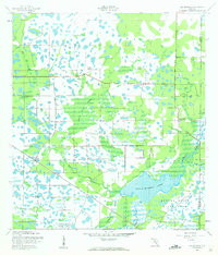
1944 Map of Old Myakka
USGS Topo · Published 1961About this map
Upper Myakka Lake serves as the focal point for this Southwest Florida landscape, where the Myakka River winds through a complex network of seasonal wetlands and prairie. The map details the early development of Myakka River State Park and the rural settlement at Old Myakka, reflecting an era when large-scale cattle ranching dominated the interior of Sarasota and Manatee Counties. Named operations like Ox Bo Ranch and T C Ranch are scattered across a terrain defined by watery landmarks such as Indian Creek Swamp and Tatum Sawgrass. Transportation is anchored by the Atlantic Coast Line railroad, which cuts through the southern portion of the quadrangle near Utopia. This survey captures the intricate hydrology of the region before modern drainage projects, showing the numerous sloughs like Vanderipe Slough and Gunn Slough that once directed the flow toward the Gulf.
Find a feature on this map
17 named features on this map. Tap any name to fly to it.
Don’t see what you’re looking for? This feature index may not catch every label — zoom into the map to look around manually.
Map Details
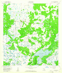
Editions of this 1944 Old Myakka Map
3 editions found
Other maps of this area

1943 · Laurel
USGS Topo · 1:24,000

1944 · Lower Myakka Lake
USGS Topo · 1:31,680

1944 · Verna
USGS Topo · 1:31,680

1944 · Laurel
USGS Topo · 1:31,680

1944 · Lorraine
USGS Topo · 1:31,680

1944 · Miakka
USGS Topo · 1:31,680

1947 · Bee Ridge
USGS Topo · 1:24,000

1956 · Myakka City
USGS Topo · 1:24,000

1956 · Myakka City NW
USGS Topo · 1:24,000

1956 · Murdock NW
USGS Topo · 1:24,000