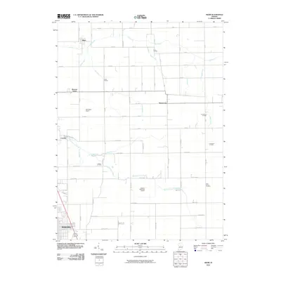
2010 Map of Miami
USGS Topo · Published 2010About this map
The northern reaches of Kokomo and the surrounding agricultural landscape of Howard and Miami Counties are defined by a complex network of drainage ditches that sustain the local farming economy. Managed waterways like Shrock Ditch, Coucher Ditch, and Matthew Anaker Ditch feed into larger systems such as Deer Creek and South Fork Deer Creek. These water management features illustrate the century-long effort to reclaim the prairie for productive agriculture.
Find a feature on this map
67 named features on this map. Tap any name to fly to it.
Don’t see what you’re looking for? This feature index may not catch every label — zoom into the map to look around manually.
Map Details
Editions of this 2010 Miami Map
This is the sole edition of this map. No revisions or reprints were ever made.
Other maps of this area

1951 · Onward
USGS Topo · 1:24,000

1951 · Bunker Hill
USGS Topo · 1:24,000

1953 · Peoria
USGS Topo · 1:24,000

1953 · Danville
USGS Topo · 1:250,000

1953 · Muncie
USGS Topo · 1:250,000

1955 · Danville
USGS Topo · 1:250,000

1956 · Muncie
USGS Topo · 1:250,000

1956 · Danville
USGS Topo · 1:250,000

1959 · Galveston
USGS Topo · 1:24,000

1959 · Miami
USGS Topo · 1:24,000