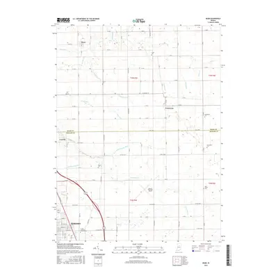
2016 Map of Miami
USGS Topo · Published 2016About this map
Miami and Wawpecong anchor this central Indiana landscape, where the northern outskirts of Kokomo meet the agricultural heart of the county line. This area is defined by an intricate network of managed waterways, including Deer Creek and numerous engineered drainage systems like Wise Ditch and Shrock Ditch. These ditches reflect the historical effort to reclaim and maintain the fertile tillable land between the Miami and Howard county borders.
Find a feature on this map
61 named features on this map. Tap any name to fly to it.
Don’t see what you’re looking for? This feature index may not catch every label — zoom into the map to look around manually.
Map Details
Editions of this 2016 Miami Map
This is the sole edition of this map. No revisions or reprints were ever made.
Other maps of this area

1951 · Onward
USGS Topo · 1:24,000

1951 · Bunker Hill
USGS Topo · 1:24,000

1953 · Peoria
USGS Topo · 1:24,000

1953 · Danville
USGS Topo · 1:250,000

1953 · Muncie
USGS Topo · 1:250,000

1955 · Danville
USGS Topo · 1:250,000

1956 · Muncie
USGS Topo · 1:250,000

1956 · Danville
USGS Topo · 1:250,000

1959 · Galveston
USGS Topo · 1:24,000

1959 · Miami
USGS Topo · 1:24,000