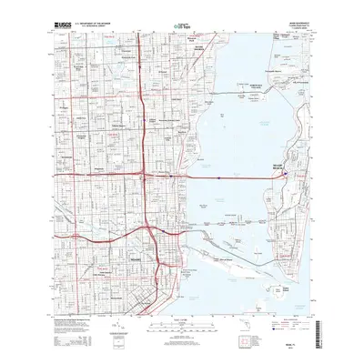
2015 Map of Miami
USGS Topo · Published 2015About this map
Miami and Miami Beach are presented here in a complex landscape of reclaimed land and urban expansion. The 2015 survey documents the intricate bridge and causeway network, including the MacArthur Cswy and Venetian Way, that connects the mainland to artificial islands like Hibiscus Island, Star Island, and Dodge Island, which houses the massive Port of Miami. To the north, older neighborhood identities remain visible in labels like Lemon City, Edison Center, and the historic Liberty Square.
Find a feature on this map
111 named features on this map. Tap any name to fly to it.
Don’t see what you’re looking for? This feature index may not catch every label — zoom into the map to look around manually.
Map Details
Editions of this 2015 Miami Map
This is the sole edition of this map. No revisions or reprints were ever made.
Other maps of this area

1947 · North Miami
USGS Topo · 1:24,000

1947 · Key Biscayne
USGS Topo · 1:24,000

1949 · Opalocka
USGS Topo · 1:24,000

1949 · Key Biscayne
USGS Topo · 1:24,000

1950 · Hialeah
USGS Topo · 1:24,000

1950 · Miami
USGS Topo · 1:24,000

1950 · North Miami
USGS Topo · 1:24,000

1950 · South Miami
USGS Topo · 1:24,000

1956 · South Miami
USGS Topo · 1:24,000

1956 · Miami
USGS Topo · 1:250,000